What Is Photogrammetry Software?
 Lukas
Zmejevskis
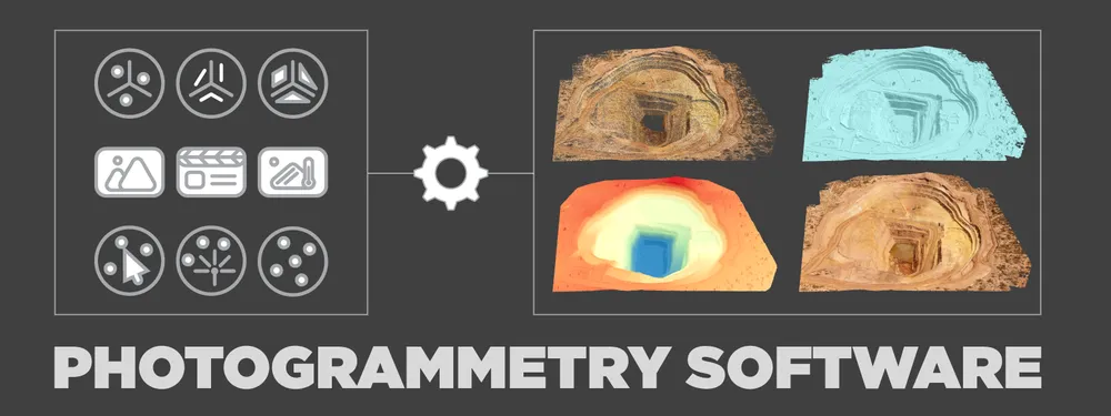
As creators of Pixpro photogrammetry software, we had to answer this question ourselves. It might seem simple at first, but as with many things, the deeper we looked at it, the more questions arose. In this blog post, we will not answer the question of what photogrammetry software is. Instead, we shall discuss what it can be and what you might need or expect from various solutions.
Data Input
The fundamental input of photogrammetry software is photos. We input images and get 3D scenes as a result. It is the baseline. But where do we draw the limit of what data can be input additionally or intermediately? There are a few types of additional data input that you might encounter:
- Different photos – thermal, multispectral images, and various formats, including video capture.
- Point clouds from other sources such as LIDAR or artificially generated point clouds.
- 3D surfaces and models.
- 3D vector data: points, lines, polygons.
- Georeferencing information – ground control points and flight tracks.
Read more about referencing types here.
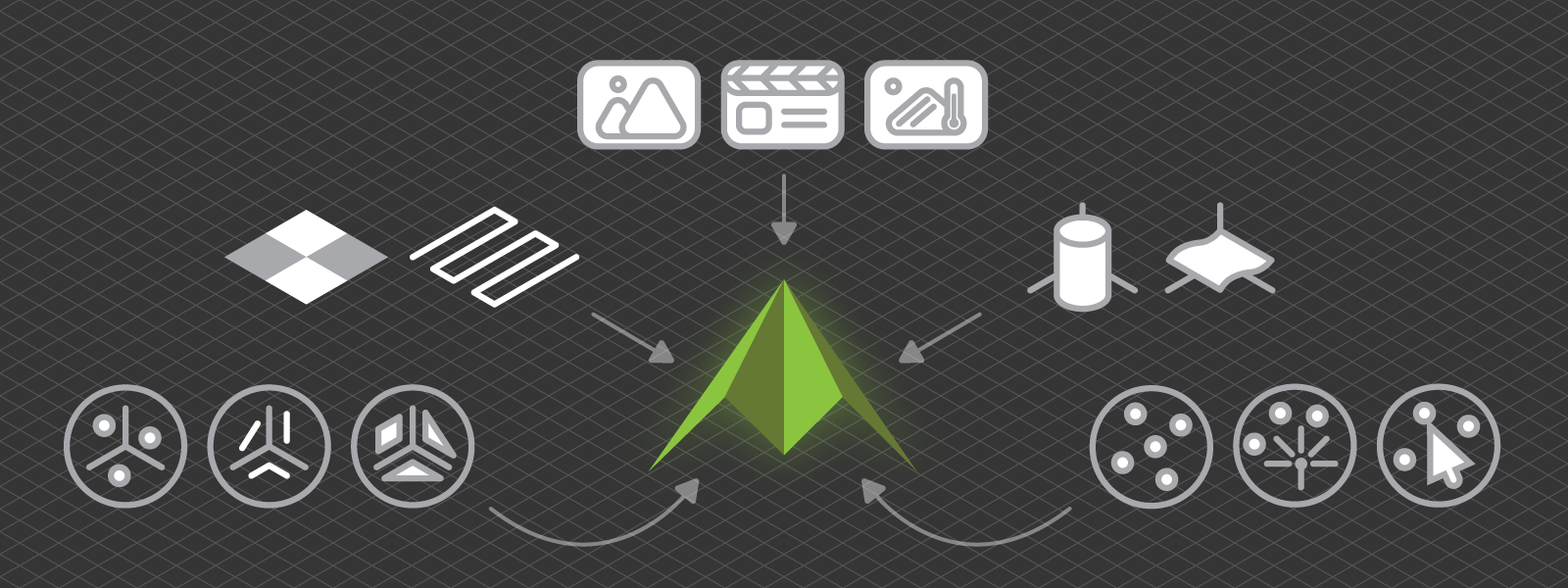
Your data input needs will vary on your use case. If you want to create and print a 3D model, you will be more concerned about output formats and post-processing of the model. But suppose you need a model of an empty stockpile for accurate material measurements. In that case, you need an external point cloud or surface input. In these examples, Pixpro may provide solutions for both as we support point cloud and surface data import and .stl 3d mesh export with 3D model decimation.
Data Output
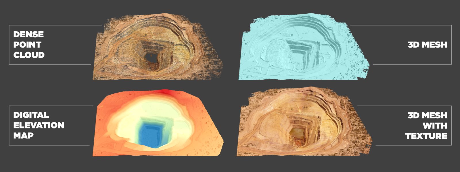
Data output are new files created by the software without heavy user input or manual modifications. Usually, these are the export options from the software. Best photogrammetry solutions will offer a wide range of point cloud, 3d model, and raster image output formats. Overall, data output is more standardized with the most popular format options available in every software. Things get more complicated when it comes to data analysis.
Data Analysis
Some software does not offer any tools for data analysis as this is not strictly part of the photogrammetric process. However, the 3D model is usually not the part that gives tangible added value to most users. Yes, the 3D results are fun, but that might be it. For asset creators, different processes like texture unwrapping, baking, and delighting might be required, which are kinds of data analysis. For many others, the measurements and inspection data provide value via time savings, effectiveness, and safety.
Keeping that in mind, we can sort all photogrammetry software into two groups: those with and without data analysis tools. Pixpro software falls under the former category as we offer measurements, inspection tools, line of sight measurements, and various post-processing features.
Photogrammetry Software X-Factor
Be it the user interface, the learning curve, a particular function, or even the people behind it. Ultimately, you might find an x-factor that will determine which photogrammetry software you will support. A good example is cloud processing support. You might not have a powerful pc to run photogrammetry algorithms with reasonable speeds, which would put the software out of reach. Some photogrammetry software offers cloud computation. With Pixpro, you do not have to use any limited web interface or pay additional charges to have cloud computing.
Conclusion
Photogrammetry software can be a tool to create and analyze data. Some software offers more analysis tools. Others might have more data input or output options. What you should focus on – depends on your use case. In all cases, do not think of photogrammetry software as something that only turns photos into pretty 3D models. You will find value in what you can do with the models. Having a 3D twin of a house or an entire mining site at your fingertips will give you options that would not be possible without photogrammetry.

Photographer - Drone Pilot - Photogrammetrist. Years of experience in gathering data for photogrammetry projects, client support and consultations, software testing, and working with development and marketing teams. Feel free to contact me via Pixpro Discord or email (l.zmejevskis@pix-pro.com) if you have any questions about our blog.
Related Blog Posts
Our Related Posts
All of our tools and technologies are designed, modified and updated keeping your needs in mind

Photogrammetry 202 - Pixpro Blog Index
In our final blog post of the year, we are indexing Pixpro photogrammetry blog posts from the last two years. After publishing regularly for a while, things tend to scatter: posts about workflows, Pixpro features, hardware tests, random experiments, use cases, comparisons.
Travel Photogrammetry - More Fun than 2D Photos
Sometimes a 2D photo does not do justice to a moment or a place, and you wish you had something more… dimensional. Something that captures shape, texture, and the little details that flat images tend to flatten even more.
Budget in Photogrammetry - Affordable to Medium to Premium
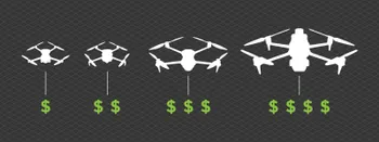
Photogrammetry, like many other professions, hobbies, or disciplines, can have different budget tiers. In this article, I will provide my opinion on what I consider to be photogrammetry gear, ranging from affordable to premium to high-end tiers.
Ready to get started with your project?
You can choose from our three different plans or ask for a custom solution where you can process as many photos as you like!
Free 14-day trial. Cancel any time.
.svg@webp)