Pixpro Software Update - Version 1.7.5
 Lukas
Zmejevskis
We bring a small update with some minor changes and our first foray into multispectral imagery. Our philosophy is to keep the interface and user experience stable while introducing the ability to change things on demand. So, we also made new customizability options, and the new features do not change any of the current workflows. Let us quickly go over the additions.
NDVI Calculation
The Normalized Difference Vegetation Index is a metric for determining vegetation health and density. This index requires photos representing two electromagnetic spectrums: visible red and near-infrared. Both of these are staples of capture in multispectral drones such as the DJI Phantom Multispectral or the DJI Mavic 3 Multispectral.
NDVI is one of the best and most accessible ways of remote sensing large-area vegetation. It is also quite accurate and represents the vegetation state on the ground with proven reliability. Technologically, capturing data on these spectrums is simple. Due to industrial ubiquity, we decided to add NDVI calculation capabilities to our software.
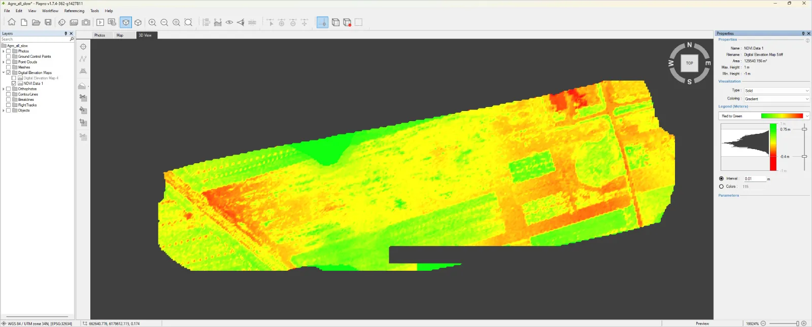
We will be writing a dedicated article about using our functionality in the near future, but an abridged version is that you need to create orthophoto images from R and NIR spectra photos and calculate the index between them. A short step-by-step workflow is available in our software help documentation. Below is an example of a sample project made with DJI Mavic 3M.
 Multi-Language Support
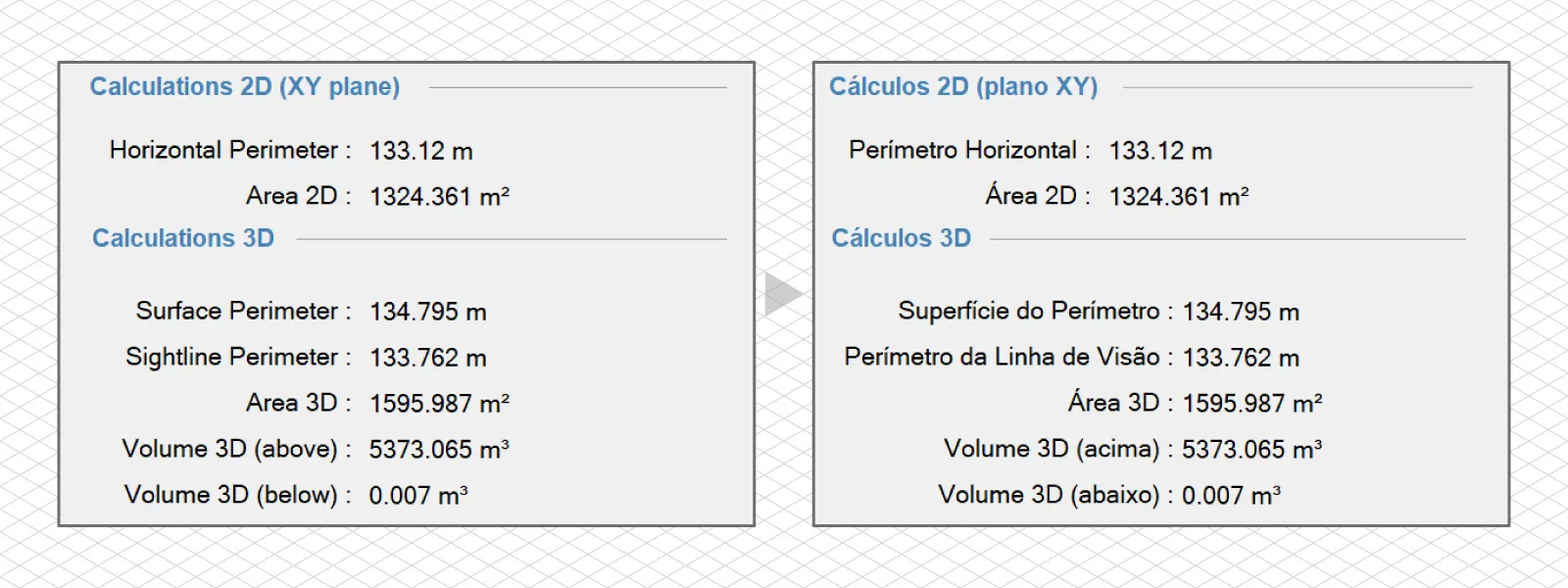
We have set up our software interface to be available in any language. And the first language we will be rolling out is Portuguese. Damos as boas-vindas aos nossos usuários portugueses e esperamos que a nossa tradução ajude a melhorar a experiência do software.
We will use an AI-provided initial translation, which will be validated by native language speakers who already know how to use our software. Changing the language is as easy as going to the options, selecting another language in the regional options tab, and restarting the software. We will add at least a few other languages in the coming months.
More Graphical Options
We are adding a few more graphical options to the options form. Based on real-world use cases, we received feedback and suggestions and implemented minor customization options. Now, you can choose whether measurement names are present in annotations alongside other graphical features.
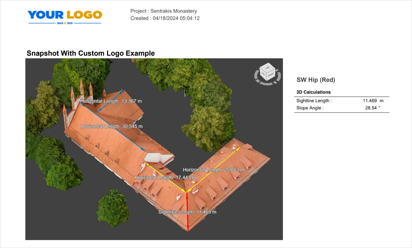
You can add a custom logo instead of our Pixpro logo to your snapshots. The logo file needs to be 3:1 in aspect ratio and at least 300 x 100 pixels in resolution. This feature is quite simple for now: You just go to the tool, select Add Custom Logo, and select a graphic file. We will expand on this in the future.
CloudCompare Plugin
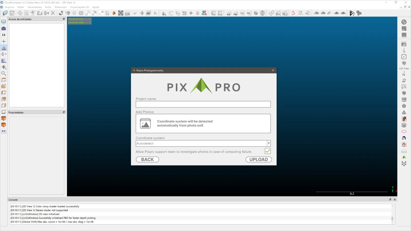
We are also launching a plugin for CloudCompare, free Windows and Mac OS software. With this plugin, you can use our cloud computing service, download computed layers directly into CloudCompare, and use all of its features.
We will be writing a dedicated article on how to use the plugin, but in short, the workflow is very simple. You will be able to select and upload the photos as you would in our software, and after some processing time, all layers will be available for download. You can download the CloudCompare software here, and our plugin will soon be available on our website downloads.
 Others
We also tidied up some properties panels, enabling hiding and showing different parts for convenience. We also added a feature where you can input an email address, which will be used for cloud computing notifications.
Speaking of cloud computing, we added the ability to share cloud-processed projects between different users. You will need to keep track of hardware IDs for that, but this way, projects can be safely downloaded by multiple people.
We added a new import feature, using blocks exchange format, so advanced users can import 3D reconstruction data into empty projects. And lastly - GCP error information now appears in the summary, the default mesh triangle suggestion is estimated according to the photo amount and we fixed some bugs as usual.
Conclusion
We continue software development and have good things planned for the future. You can try the new version of our software right now for free; just go to our pricing page. If you have already tried our software and completed your trial, write to us, and we will provide you with a new evaluation period.

Photographer - Drone Pilot - Photogrammetrist. Years of experience in gathering data for photogrammetry projects, client support and consultations, software testing, and working with development and marketing teams. Feel free to contact me via Pixpro Discord or email (l.zmejevskis@pix-pro.com) if you have any questions about our blog.
Related Blog Posts
Our Related Posts
All of our tools and technologies are designed, modified and updated keeping your needs in mind
Pixpro 1.7.11 - Seamless Model Sharing
We are keeping the development cycle relatively short these days, so here is a new update to our photogrammetry software. Update 1.7.11 brings improvements related to our cloud service.
Pixpro Version 1.7.10 - New Feature - Inspections
Another new Pixpro version is here, and it brings a singular new feature - an inspection module. Inspections are a large part of photogrammetric scanning because it is the most convenient and long-lasting way of visual remote sensing.
Most Asked Photogrammetry Questions Part 4 - Pixpro Support Picks
I help my team support Pixpro photogrammetry software users on a daily basis and often get forwarded more technical or specific questions. This gives me a good idea of what people ask the most, so I am writing these blog posts to get ahead of many questions.
Ready to get started with your project?
You can choose from our three different plans or ask for a custom solution where you can process as many photos as you like!
Free 14-day trial. Cancel any time.
.svg@webp)
