.svg@webp)
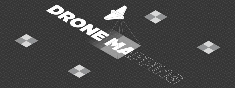
What is Drone Mapping?
 Lukas
Zmejevskis
Lukas
Zmejevskis
Drone mapping – is a process of aerial data collection using unmanned aerial vehicles (UAVs). Orthophotography and drone photogrammetry are the main categories within drone mapping. Lidar scanning and other types of data gathering are also included. It is a broad umbrella term that encompasses a lot. Let us deconstruct all parts of drone mapping and fully understand what the term implies.
The Drone Part
Technological advancements in drones and UAVs made drone mapping a staple of surveying in the last ten years. The aerial mapping used to be the domain of airplanes carrying huge cameras. The cost of such technology and services meant they were accessible to governments and international corporations only. With the advancing tech of semiconductors, electric propulsion, cameras, and batteries, consumer camera drones have become mainstream among the general public. At the same time, high-precision enterprise solutions became affordable for small businesses.
The Mapping Part
With the technological barrier gone, digitization and mapping for surveying purposes became one of the primary uses for drone cameras. Mapping consists of three main stages:
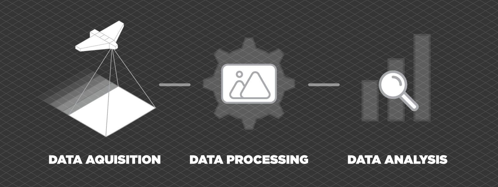
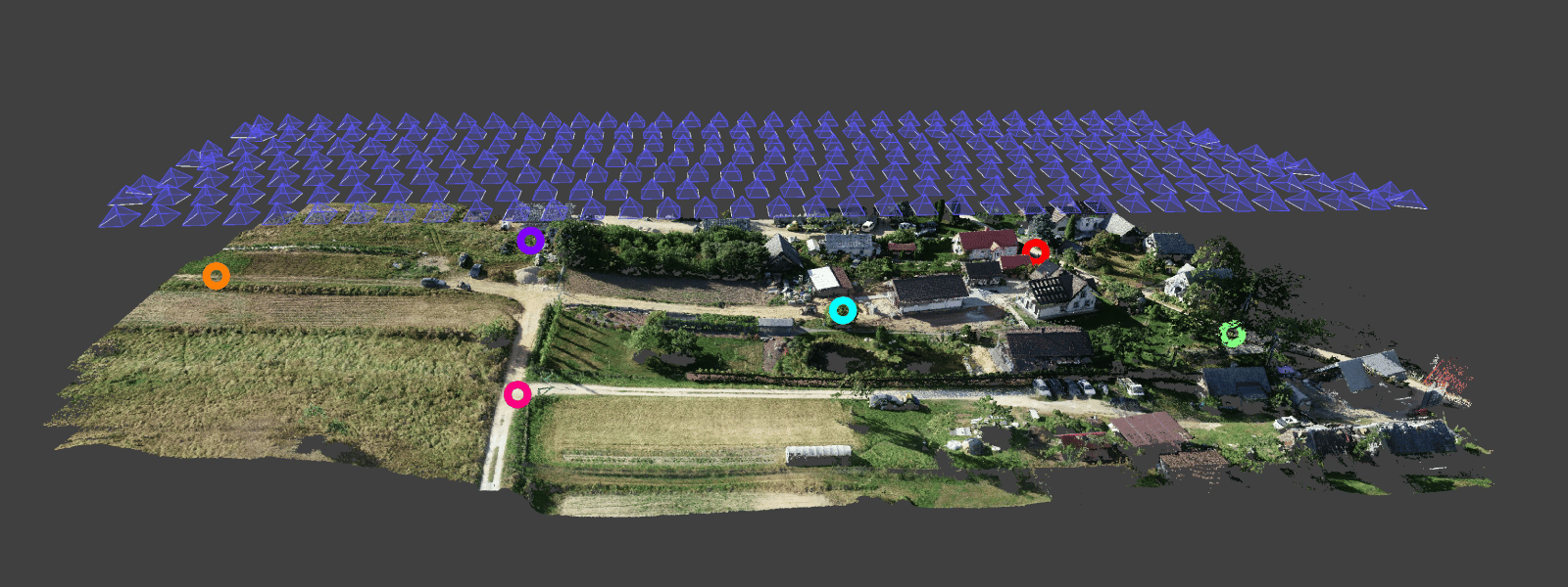
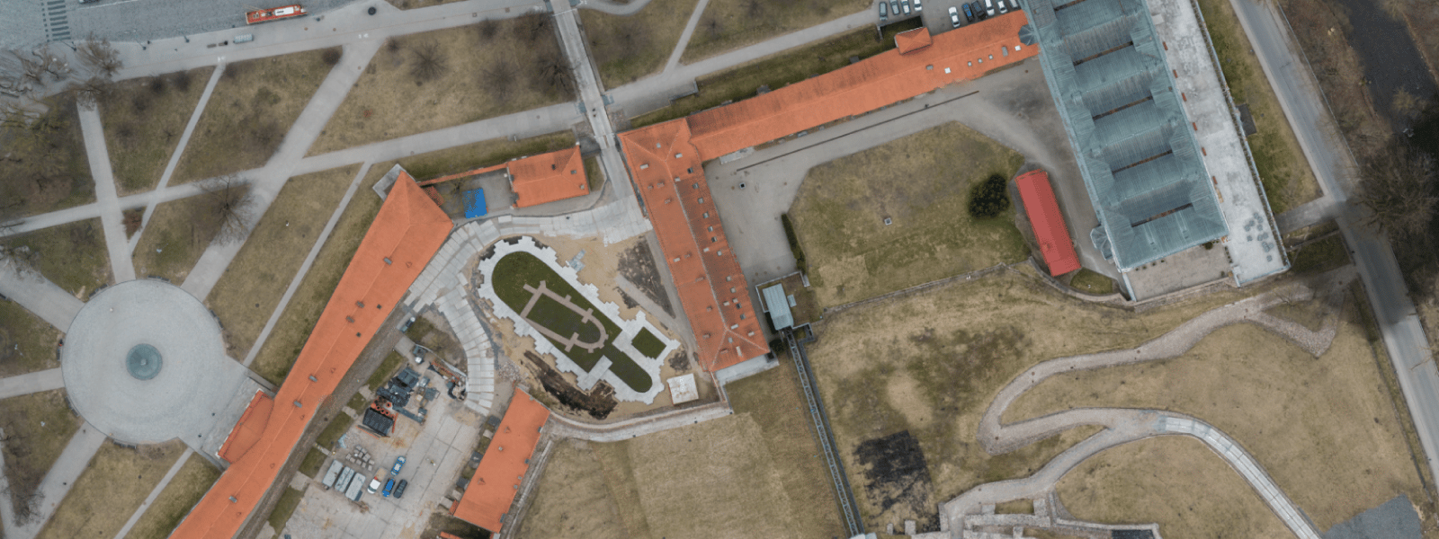
Data acquisition is aerial photography with a specific purpose and subject. While the target can be anything on the earth’s surface and beyond, the process may require certain aspects. For example, if a photogrammetric 3D surface is needed. As a result, we must keep to the best practices of capturing photos for photogrammetry. For survey grade results – specific precision requirements for the equipment are often the case. The data acquisition stage also contains processes during which we collect additional data, for example, GCPs.
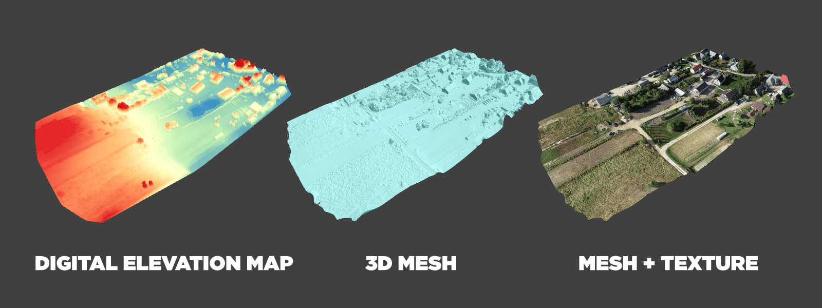
Data processing is an inevitable second step of the drone mapping workflow. Data processing is mainly automated, with human input only guiding the software and the hardware to create something entirely different than raw data. In a photogrammetric process, you might need to press only a single button to turn your 2D photos into 3D models and use them for various measurements and simulations.
Lastly, data analysis – is the most crucial step, where all the value resides. With the help of various tools, people use drone data analysis to achieve what otherwise would be impossible with high altitude or satellite data. Drone mapping provides resolution and accuracy far beyond what can be achieved with high-altitude flights and the flexibility to create data for entirely new use cases.
Drone Mapping Use Cases
We use aerial imagery wherever we can physically capture it. Construction companies use drone mapping for progress monitoring and inspection. Mining industry professionals measure stockpiles and design pits to ensure safety. Green energy sector use drones to inspect and design solar farms. City planners and architects use drone photogrammetry to visualize and simulate future changes in the cities. Even the entertainment industry uses drone imagery to create entire virtual worlds for games and movies. Drone mapping use cases are limitless, and new ones become apparent daily.
Starting Drone Mapping?
To start your own venture, you must be able to do all three stages mentioned before. Acquire drone piloting skills and licenses for gathering data. Master your data processing techniques and software. Learn to analyze the data to create tangible value in the specific use case. It may be a long and arduous process, but you can begin right here on our blog:
Drone Piloting – Best Ways to Get Experience
Photogrammetry Fails and Issues Part 1
Photogrammetry Fails and Issues Part 2
Common Photogrammetry Problem – the Bowl Effect
Conclusion
Drone mapping – is an integral part of modern society. Nowadays, no construction process starts without it. No mining operation runs without aerial data gathering. You might not see drones working daily to capture the world for someone to improve it, but they are. Without this technology, our progress as a species would be slower than today. If you think you might have a use case for drone mapping, do not hesitate to embrace the latest tech and improve your workflow and results today.
Photographer - Drone Pilot - Photogrammetrist. Years of experience in gathering data for photogrammetry projects, client support and consultations, software testing, and working with development and marketing teams. Feel free to contact me via Pixpro Discord or email (l.zmejevskis@pix-pro.com) if you have any questions about our blog.
Related Blog Posts
Our Related Posts
All of our tools and technologies are designed, modified and updated keeping your needs in mind
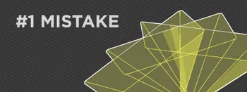
No. 1 Mistake You Are Making in Photogrammetry Right Now
As photogrammetry software developers, we need to troubleshoot multiple projects from our clients every week. The number one mistake, especially when making measuring projects, is using redundant photos. These photos can appear for a few reasons, which I will describe, and they can be quickly dealt
Classic Photogrammetry with an iPhone
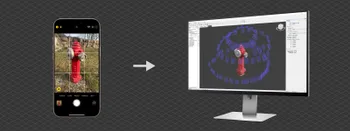
Photogrammetric 3D scanning can turn a bunch of regular photos into a 3D model or a scene. So, we only need a camera and some knowledge of how to take photos. In the previous article, we tested the latest iPhone camera with a few different apps.
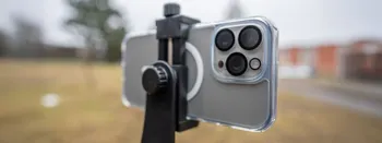
Manual Photography with iPhone 16 Pro Max - Android/Windows User Perspective
Adage as old as touchscreens on portable devices tells us that the best camera is the one you have. We have the luxury of having cameras everywhere we go because we are dependent and addicted to smartphones.
Ready to get started with your project?
You can choose from our three different plans or ask for a custom solution where you can process as many photos as you like!
Free 14-day trial. Cancel any time.