Smart, Simple & Safe Surveying

Surveying business is far from cut-and-dried. For professional surveyors, a typical workweek can present a host of challenges that cannot be dealt with easily. While it would be impossible to catalog and quantify all challenges that the land surveyors face, the following issues are common enough to warrant special consideration.
Surveying and model law framework
Surveying is broadly defined as virtually any mapping or schematic-representation activities that occur on or under the surface of the earth. Naturally, these apply to man-made boundaries as well as natural features that can be used to define properties or create representations of mineral extraction fields. Many “model law” frameworks also include the secondary creation of maps, plats and other post-survey documents as surveying activities. Regardless of the precise means by which model survey laws define the trade, these rules occasionally conflict with one another and may lead to misunderstandings among professionals who work in different jurisdictions.
Surveying systems and their limitations
Other surveying frameworks are more narrowly defined. These models limit surveying to activities that can be directly tied to the determination and mapping of property boundaries. While this covers the initial establishment of property boundaries as well as the reestablishment of such borders, it leaves out important support activities like natural feature mapping and underground surveying. Surveyors who perform these activities in states that maintain narrow definitions of “surveying” may face substantial challenges.
GIS and surveying legality
Many states maintain outdated surveying frameworks that fail to account for modern, GIS-enhanced surveying techniques. Since GIS is now ubiquitous in the surveying business, this is a major issue. Surveyors who use geographical information systems without recognition from established legal frameworks may go without any protection or recognition for such activities. Fortunately, state legislators appear to recognize the need to fix this issue.
Surveying equipment for efficiency
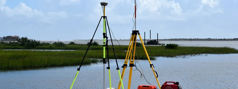
Despite the challenges, surveying equipment helps to deal with the problems encountered. Land surveyors, construction professionals and civil engineers using total station, GPS, 3D scanners and other collector data use Land Surveying Software to increase efficiency, accuracy and productivity. The information needed for operational actions can also be obtained through photogrammetry assistance. The photogrammetry based software simplifies the entire process of surveying.
Photogrammetry and aerial photos
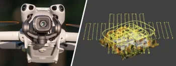
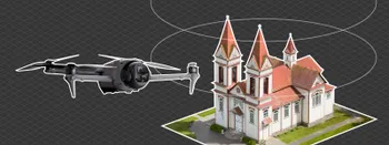
Drones are an indissoluble part of photogrammetry. Terrestrial ways to collect photographs are possible, but for better, larger scale results drones must be used.
When photos data-set is available, it is uploaded to the Pixpro software to generate 3D model. Using the software one can go from having a bunch of pictures to dense point clouds and DEM’s.
The 3D modeling process consists of 3 main steps that generates:
- Sparse point cloud;
- Dense point cloud;
- Digital elevation map.
When one get the 3D model, all the necessary analysis and calculations can be performed at a click.
Try surveying with photogrammetry
Combining technology with the understanding of surveyors’ workflows, data integration and maintenance across the projects, Pixpro software possesses a wide range of features which speed up and facilitate the daily work. Pixpro ensures smart, simple & safe surveying that enables to:
- Provide essential information;
- Increase productivity;
- Improve workflows and collect data easily;
- Make well-informed decisions.
If there is a need for a project to be executed perfectly, take advantage and use Pixpro software solutions for the better accuracy and workflow. It will help save time and improve the accuracy of the survey.
Related Blog Posts
Our Related Posts
All of our tools and technologies are designed, modified and updated keeping your needs in mind

DJI Mini 5 Pro For Photogrammetry – Aerial Scanning With Pixpro Waypoints
DJI Mini 5 Pro is a 250-gram flying camera equipped with a 1-inch type sensor. Nine years ago, the Phantom 4 Pro was released as the first consumer drone to feature the same sensor format.

Pixpro Waypoints – Frequently Asked Questions Part 2
Pixpro Waypoints service is a workaround solution providing automated photogrammetry flights for the latest DJI drones. The service came about when DJI officially discontinued SDK support — and therefore third-party app development — for consumer-grade drones.

DJI Mavic 4 Pro Photogrammetry – Pixpro Waypoints
DJI Mavic 4 Pro is the flagship foldable consumer drone from DJI. It will become a workhorse for many creators in the next few years, including some of us in photogrammetry.
Ready to get started with your project?
You can choose from our three different plans or ask for a custom solution where you can process as many photos as you like!
Free 14-day trial. Cancel any time.
.svg@webp)