How to Convert Pictures to Spectacular 3D Models?
Virtual reality (VR) with 3D models is a computer-generated scenario that simulates a realistic experience. Step by step it becomes an integral part of people’s everyday lives. Now we can choose furniture by “walking” around the apartment in 3D mode, visit museums or new places just putting on a pair of glasses. Virtual reality literally makes it possible to experience anything, anywhere, anytime.
The simplest form of virtual reality is 3D image that can be explored interactively in personal computer. With IT rapidly moving forward, the creation of 3D images became possible for everyone.
Converting photos to 3D models
Photos are no longer just a 2D memory on a paper. With photographs and photogrammetry based software one can create realistic 3D models. If we have at least 3 photos taken from a different angle, we can already reconstruct the 3D model of the object.
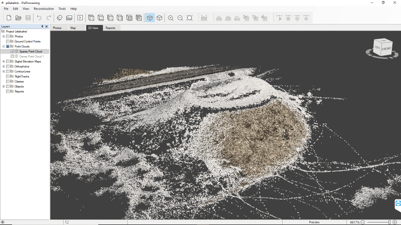
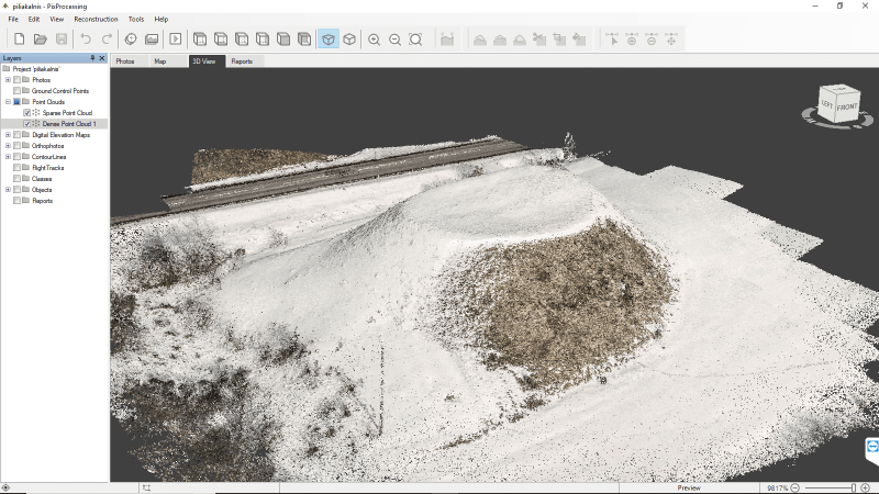
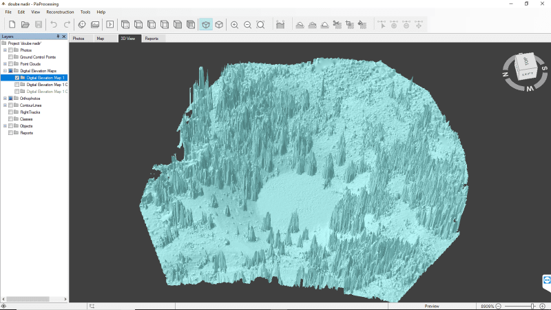
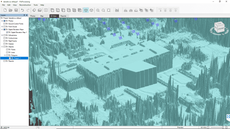
When photos data-set is available, it is uploaded to the Pixpro software to generate 3D model. Using the software one can go from having a bunch of pictures to dense point clouds and terraformed DEM’s.
The 3D modeling process consists of 3 main steps that generates:
- Sparse point cloud;
- Dense point cloud;
- DEM.

3D reconstruction is made natively using Pixpro photogrammetric engine. User can generate sparse point cloud, clone it and use it for DEM creation or generate more accurate dense point cloud and go from there.
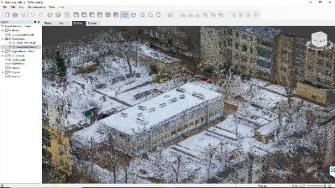
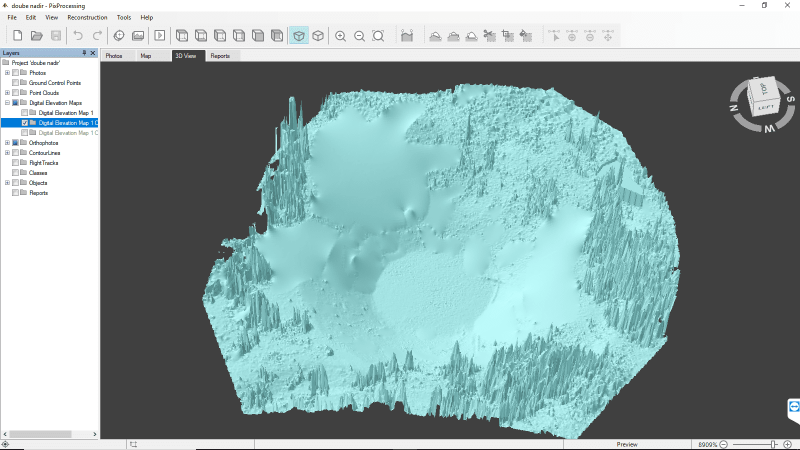
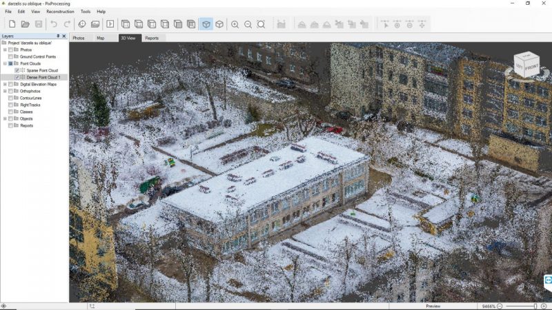
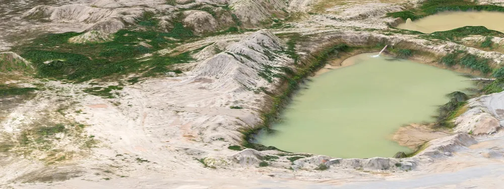
With Pixpro software one can create various 3D models. Whether it’s a terrain or a building (pictures below), the creation of the 3D model remains the same.
3D model reconstruction process
Everything begins with the essential functionality of photo manager, which provides user a quick and convenient way dealing with as many pictures as necessary. One can review, delete pictures, review sensor and/or camera data – everything in one place.

With customizable workflow one can simplify regular object recreation process. It can be done by choosing all settings and necessary steps needed in particular project without wasting time in a step by step operation.

Georeferencing settings and GCP’s (ground control points) are crucial for those who are looking for maximum accuracy. Pixpro provides an easy to use GCP manager for setting up point projections in order to obtain accurate georeferencing.
Once the point cloud is generated, user can choose the extent of it, which will be used for further operations. This can be easily done with the bounding box feature. Just select the part of the model that you need for further work.

In case of lesser quality datasets, Pixpro provides the ability to fill potential holes with various options.
And last but not least – sometimes even the most important feature – simulation tools that provide user with terrain leveling functions. Leveling can be used in a limitless number of situations. Virtually using up a stockpile of gravel, filling a hole in the ground, cutting down trees, smoothing out slopes, etc.
3D surface simulation tools
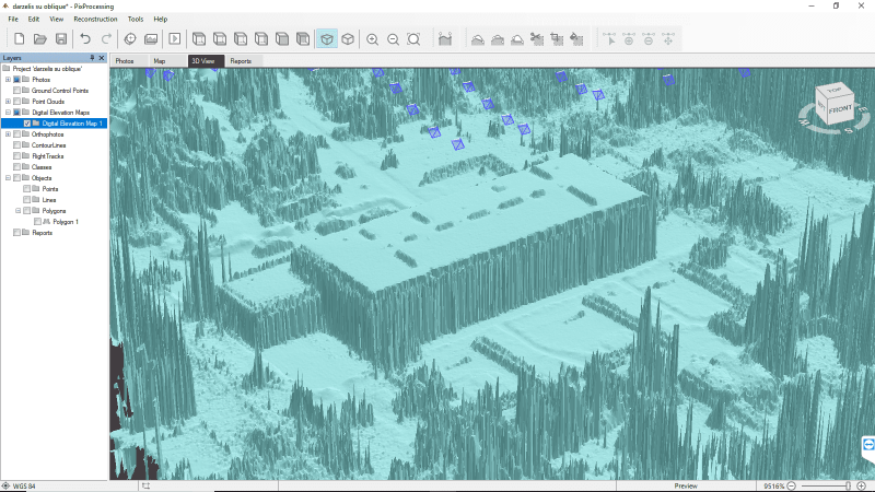
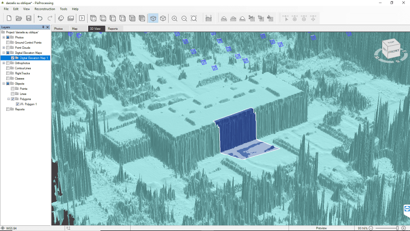
There might be cases when we want to see the object without some elements, such as pits, which are overgrown with vegetation. To remove unnecessary items, mark the wanted space with level by averaging function.
Using this feature the selected area is leveled out by bringing the average of the selected surface.
In the case of real estate, both simulation options are very valuable:
- Level by minimizing;
- Level by maximizing.
For instance, there is a possibility to visualize the same area with building or without (level by minimizing). It is also possible to simulate how the annex could look like (level by maximizing), where to situate it and so on.
3D models based on photogrammetry
3D models are simple to create and do not require much investment. All you needed is a good photogrammetric software, creativity and most importantly – good photos.
Related Blog Posts
Our Related Posts
All of our tools and technologies are designed, modified and updated keeping your needs in mind
Pixpro 1.7.11 - Seamless Model Sharing
We are keeping the development cycle relatively short these days, so here is a new update to our photogrammetry software. Update 1.7.11 brings improvements related to our cloud service.

Pixpro Version 1.7.10 - New Feature - Inspections
Another new Pixpro version is here, and it brings a singular new feature - an inspection module. Inspections are a large part of photogrammetric scanning because it is the most convenient and long-lasting way of visual remote sensing.

Most Asked Photogrammetry Questions Part 4 - Pixpro Support Picks
I help my team support Pixpro photogrammetry software users on a daily basis and often get forwarded more technical or specific questions. This gives me a good idea of what people ask the most, so I am writing these blog posts to get ahead of many questions.
Ready to get started with your project?
You can choose from our three different plans or ask for a custom solution where you can process as many photos as you like!
Free 14-day trial. Cancel any time.
.svg@webp)
