.svg@webp)
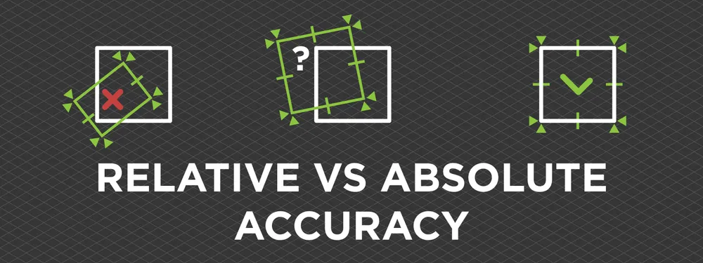
Relative vs. Absolute Accuracy in Photogrammetry
 Lukas Zmejevskis
Accuracy is often a topic of debate among photogrammetry professionals and enthusiasts. The most commonly discussed issue is the accurate representation of the world in a 3D scene. Old-school surveyors may maintain a firm stance that ground control points and total stations are the only way. Others may say that Lidar is the only option now. Our answer is, as always - it depends. Photogrammetry can be as accurate as anything, but it is only as good as your input data. Input data also determines the absolute and relative accuracy of your project.
Core Difference
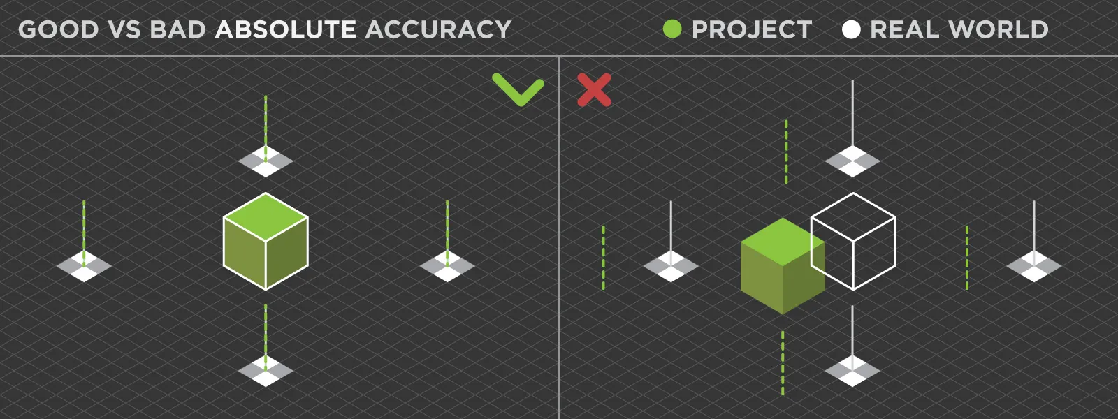
The core difference between absolute and relative accuracy is the overall positioning of the 3D scan in a geographic coordinate system. Absolute accuracy means that the location of the entire project precisely corresponds to where it is in the real world. So if a surveyor claims that the absolute accuracy of a project is less than a centimeter - the coordinates you measure in real life, the project should have a minuscule difference.
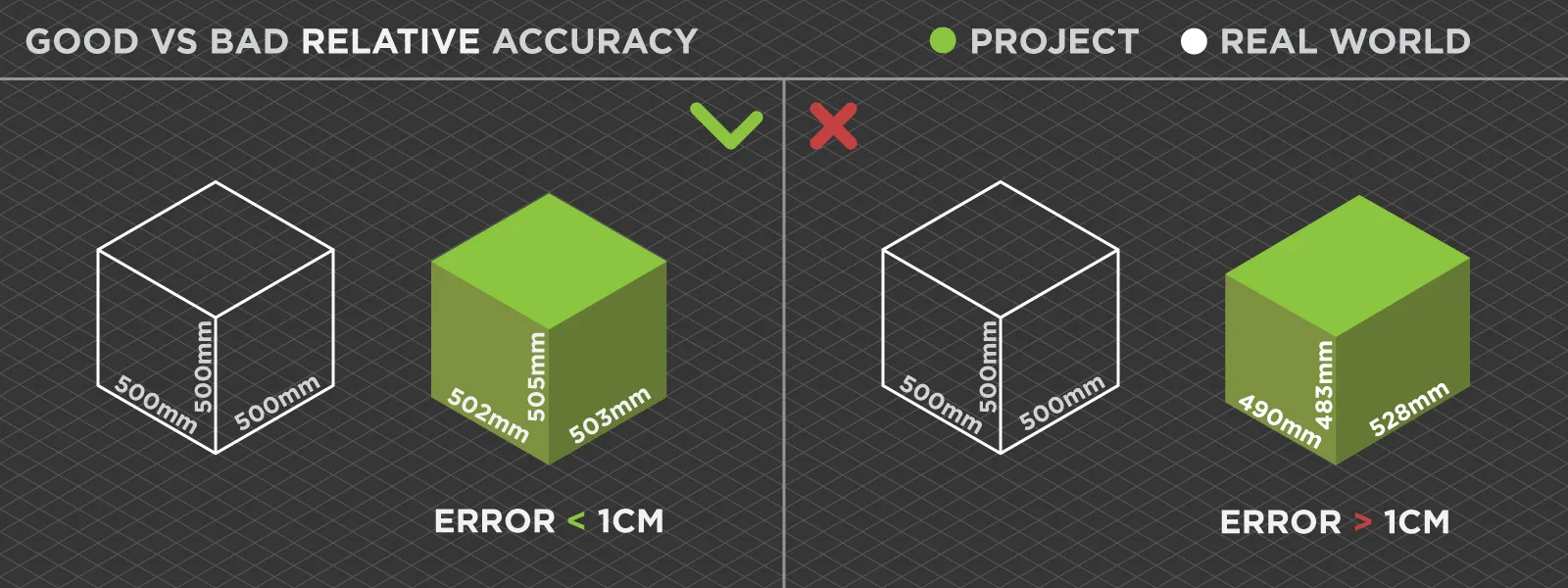
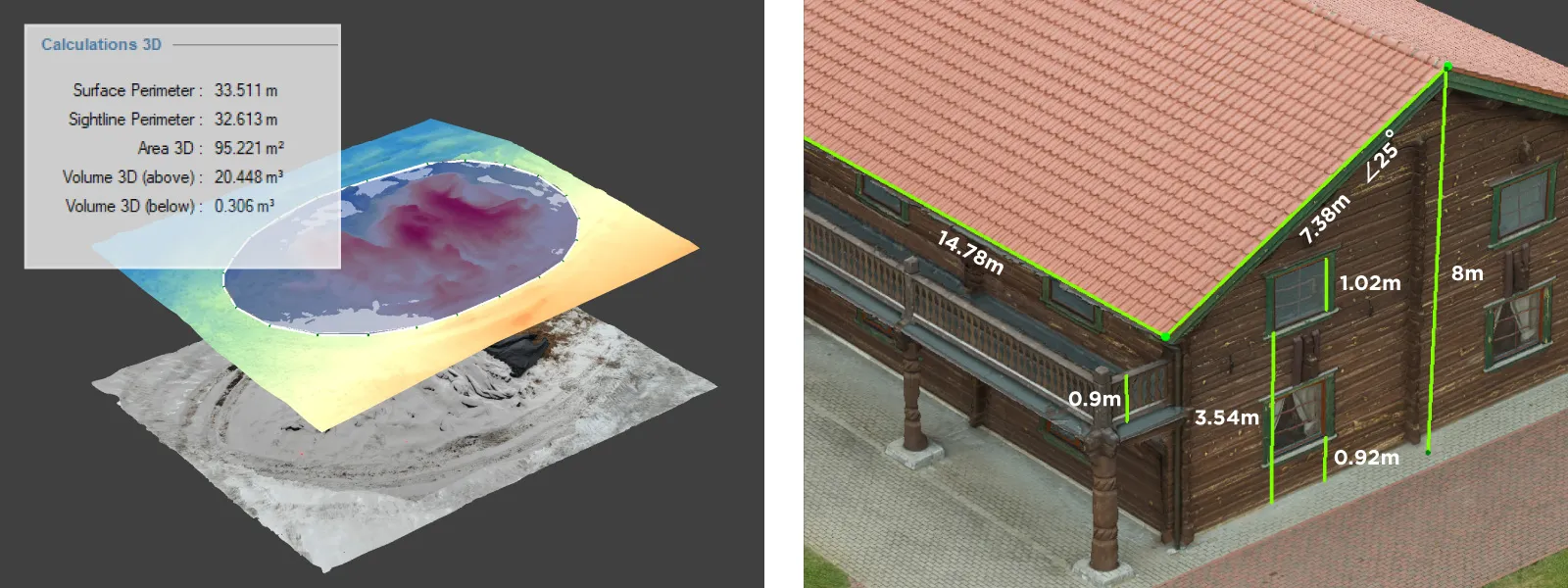
On the other hand, high relative accuracy means that the project's location is not a priority, but the scale and shape are. Relative accuracy is easy to measure with available sizes. When doing a photogrammetric scan, you can place down a good tape measure and scan it along with the scene. Once the 3D reconstruction is complete, you can measure that tape (or any object with known measurements) and see how the results compare. Suppose the measurements are correct in software such as Pixpro. In that case, you can claim that the relative accuracy of such a project is high.
Ensuring Relative Accuracy
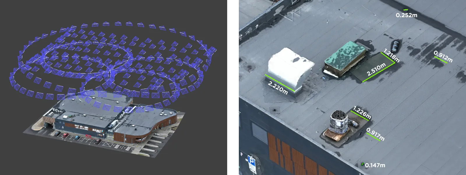
Relative accuracy depends mainly on the photogrammetric capture being sound. With aerial photogrammetry, professionally made photo sets will get you the superb relative accuracy needed for measurements, even without any survey tools. Consumer-grade GPS data is enough for good project scaling if all other factors, such as image quality and overlap, are under control. Other scaling tools, such as manual referencing with known lengths, will work, too, with well-made photo sets.
If your project does not match the map and the coordinates are inaccurate, especially the Z-axis altitude - that is a normal phenomenon for consumer-grade GPS. As mentioned above, you can still use the project for linear and volumetric measurements. Although we must say, volumetric measurements are much more sensitive to input data. Therefore remember - if you need measurements - ensure good photo capture with your drone, and you will succeed.
Ensuring Absolute Accuracy
A robust referencing system is the only way to ensure absolute accuracy. Using ground control points is the best method of obtaining survey grade referencing. GCPs are a part of the scene and represent fixed points in space with known coordinates. It makes GCPs the most reliable source of reference. Of course, GCP data itself has to be up to the job.
Other ways of getting high absolute accuracy in aerial photogrammetry are RTK and PPK workflows. High-precision RTK GPS data is usually a part of the photo metadata. At the same time, PPK represents an additional post-processing workflow to that data. RTK and PPK will not be as reliable as GCPs. Still, in many cases, these methods are sufficient for some applications.
In most cases, high absolute accuracy will mean relative precision too. But not in all of them. If you are after the best possible result, control your projects with known dimensions and apply the same best photo capture practices. It applies even if you have survey-grade reference data. Referencing data does not replace proper photo capture.
Other Factors
The size, shape, and subject of your photogrammetry projects can affect both types of accuracy. We must adjust image capture accordingly. Elongated top-down scans are prone to the bowing effect, which removes any notion of accuracy. Indoor capture requires a different approach to coverage, while macro photogrammetry introduces unique challenges. Just be aware and approach each project with compound thinking.
Use Cases
Having only relative accuracy is suitable for those looking for visually representative scenes and the ability to measure them. Roof and stockpile measurements, visual inspection, orthophoto capture, and many other jobs do not require absolute accuracy.
With absolute accuracy, we usually come to the realm of surveying. Use cases include making plans and drawings with precise coordinates and integrating photogrammetric results with maps or GIS systems. These kinds of use cases will require professional referencing.
Conclusion
Understanding what you can do with your 3D scan data is imperative. Now you should know if you need absolute or relative accuracy for your use case and how to achieve it. Always remember the essential thing about photogrammetry - your 3D results can only be as good as your input data.
Photographer - Drone Pilot - Photogrammetrist. Years of experience in gathering data for photogrammetry projects, client support and consultations, software testing, and working with development and marketing teams. Feel free to contact me via Pixpro Discord or email (l.zmejevskis@pix-pro.com) if you have any questions about our blog.
Related Blog Posts
Our Related Posts
All of our tools and technologies are designed, modified and updated keeping your needs in mind
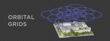
Multiple Overlapping Orbits - Pixpro Waypoints
Orbital flights are an effective and straightforward way of obtaining good-quality scans of isolated or more homogenous objects. However, if we overlap many orbits side by side, it becomes just as efficient in capturing oblique data for quite large, multifaceted areas.
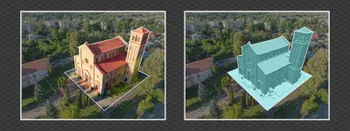
Overlap Between Different Perspectives
Photogrammetry can be simple and rigid or complex and adaptable. Combining different scan patterns adds complexity to the work but improves detail and coverage. We often use examples of combined flights, of which the orbital + nadir grid is a classic. They provide great 3D structure while being easy

Ground Sampling Distance Visualized
Ground sampling distance (GSD) is a ubiquitous term in photogrammetry. While this acronym often describes a specific scan quality aspect, it may be misunderstood or overvalued.
Ready to get started with your project?
You can choose from our three different plans or ask for a custom solution where you can process as many photos as you like!
Free 14-day trial. Cancel any time.
Welcome to Pixpro
Sign in
And access your account.