.svg@webp)
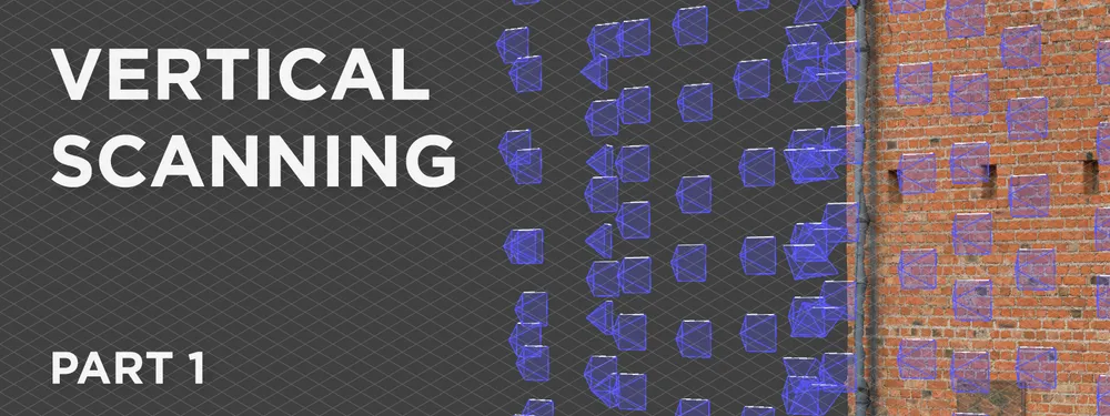
Vertical Photogrammetry Part 1 - Outdoor Walls
 Lukas Zmejevskis
Walls, facades, and geological outcrops are examples where the scanned subject is entirely vertical. For some - it may be the focus of their work and the most common use case. This article begins a series on vertical scanning techniques for different subjects and situations. We start with the most straightforward case - vertical scanning outside while using a drone.
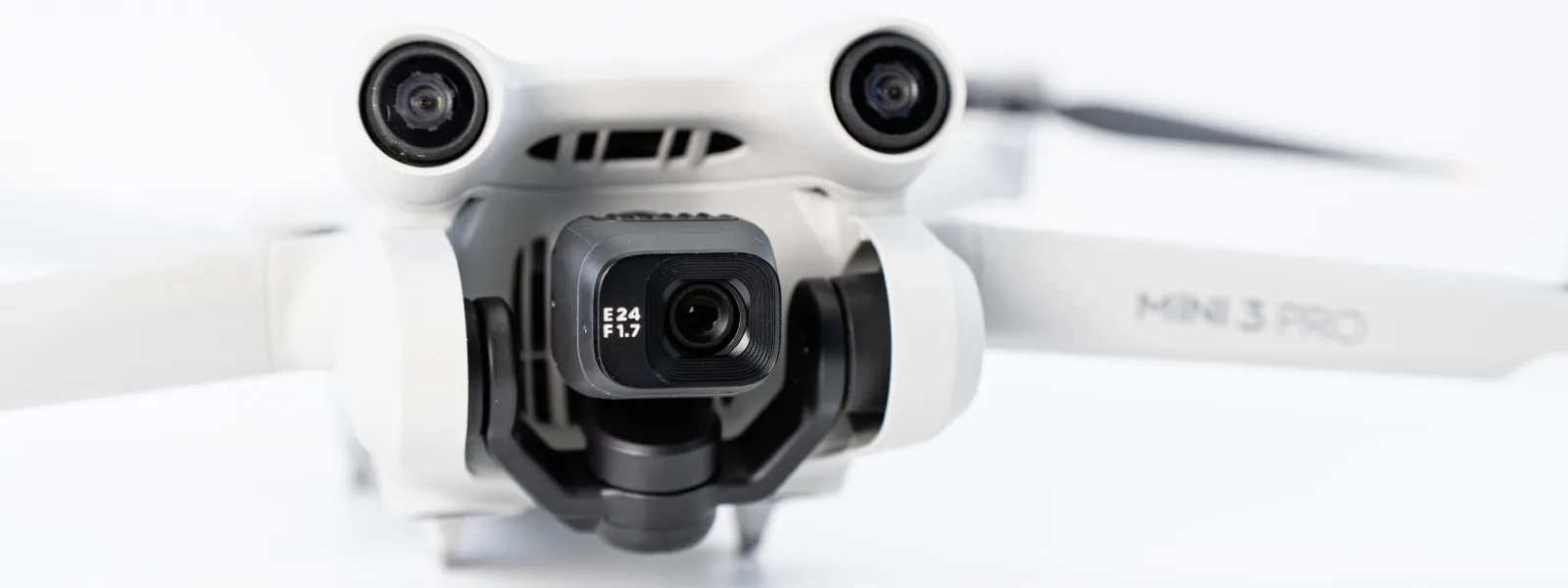
DJI Mini 3 Pro
For vertical aerial scans, we will need the drone and its accessories. As always, we can use RTK drones or ground control points for better accuracy. That will depend on your expectations and further data use requirements.
We recommend using a drone with forward obstacle sensing as it helps maintain a safe distance to the photographed surface. We used a DJI Mini 3 Pro to make the example in this case, which does have forward obstacle sensing. Otherwise, any competent flying camera will be enough.
Vertical Scanning Challenges
We face a couple of main challenging factors when making a dedicated vertical scan. We assume we are after higher-quality data, so we keep the drone close to our subject. Proximity means that:
- Our movements are greatly exaggerated. When flying close to the subject, even such slow speeds as 0.6 meters per second feel rapid because the surface shifts quickly in our camera's field of view. Therefore we need to take extra care to go slower and avoid motion blur in our photos.
- Wind turbulence becomes a factor for all drones. Wind turbulence will toss the drone around on a windy day. It becomes strong when flying near vertical surfaces, especially the roof and 90-degree corners. Heavy turbulence can crash the drone, so be wary and postpone the flight when the weather conditions are too windy.
Otherwise, all other challenges of a low-altitude flight apply, such as being close to other people, animals, and vehicles alongside unwanted attention and noise.
Manual Aerial Photogrammetry
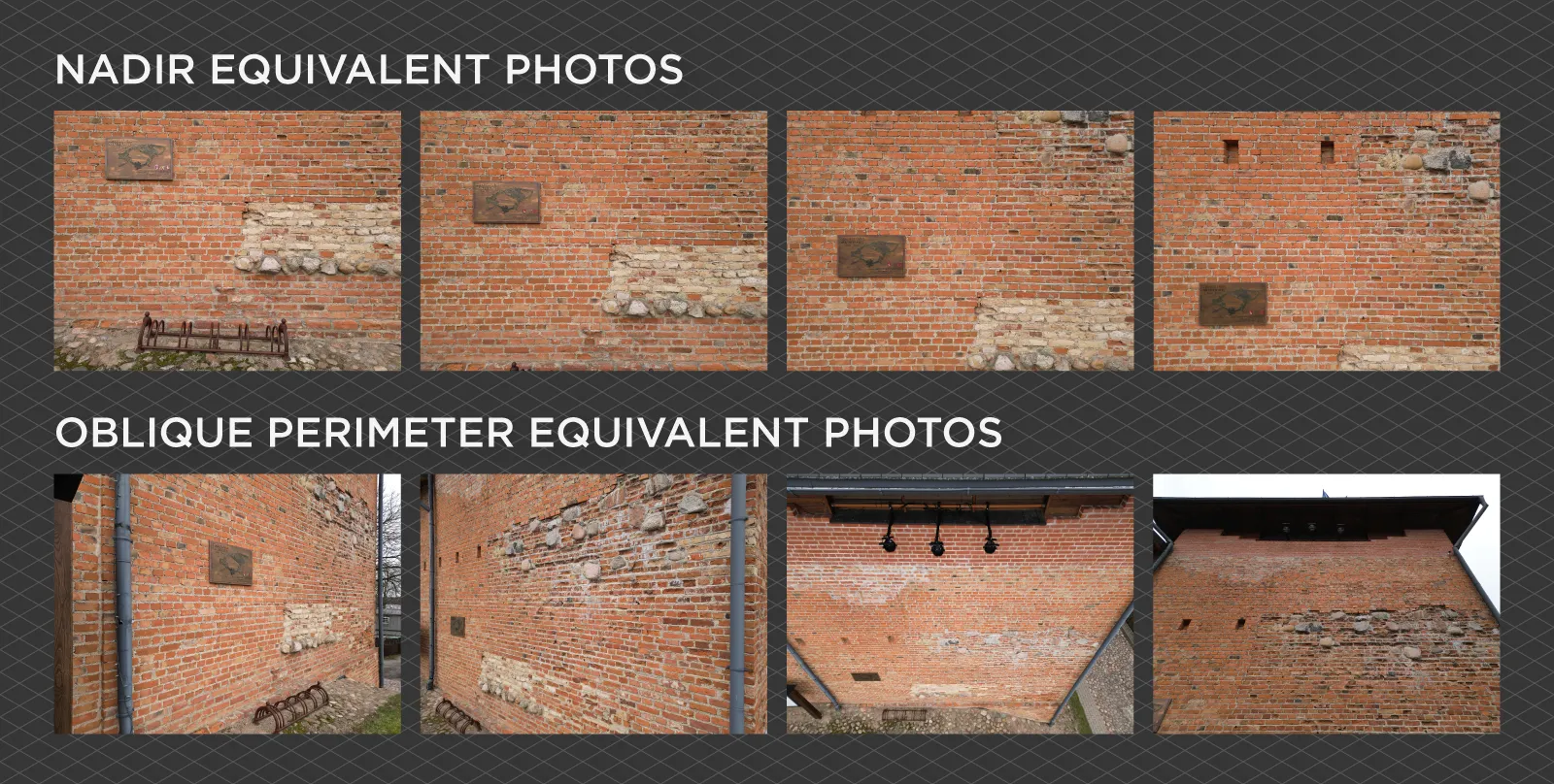
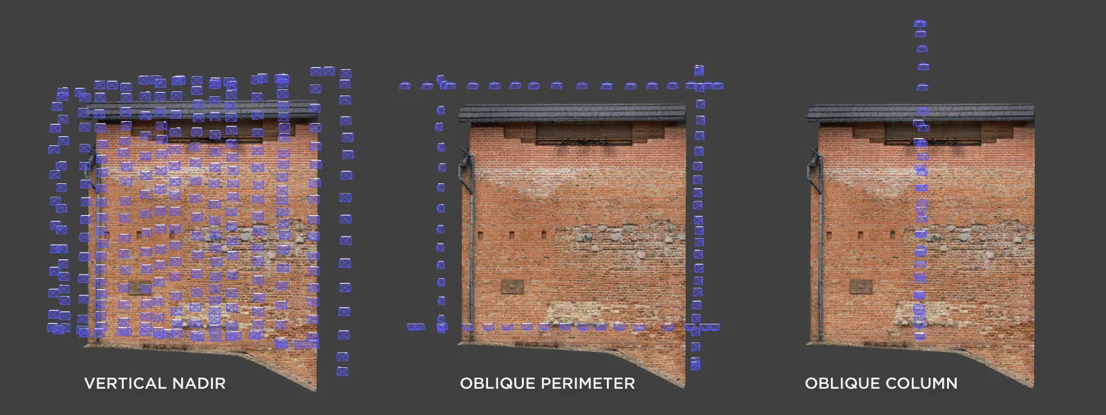
We recommend doing a nadir scan equivalent (but vertical) and adding an oblique perimeter from all four sides to get a high-quality baseline scan for a relatively flat surface. In this case, nadir means the camera is parallel to the wall's surface. If we were to use only nadir data, this would leave us at risk of getting the bowing effect. Adding an oblique perimeter at an approximate angle of 45 degrees eliminates that risk and ensures an excellent 3D structure. Perimeter scan means flying alongside each edge of the scanned area and facing toward the opposite side.
We used a Mini 3 Pro, which recently got an update that allows customizing the maximum speed for each flight mode. To make the process as smooth as possible, we set all maximum speed values to 1 meter per second before the flight.
Vertical Scan Example
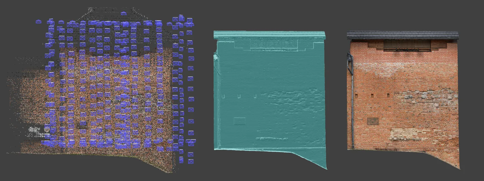
Using the described flight technique, we made an example of a historic brick wall. Additionally to the nadir and perimeter capture, we added a column of oblique images in the middle of the area of interest. During the flight, the drone was 3 meters away from the wall on average, which gave an overall good quality scan, but a safe and stable working distance. At this distance, the wind was not an issue.
In total, we took 377 JPEG photos. We set the white balance to manual 5500K for consistency and ISO at 200 while leaving the shutter speed in auto. Using a higher than baseline ISO 100 sensitivity, we forced the shutter speeds to be faster to ensure that motion blur was never an issue. Shutter speeds varied from 1/500th of a second to 1/6000th while keeping the exposure correct. The lesser sensitivity of ISO 100 does provide a cleaner image. Still, the Mini 3 Pro camera is easily usable up to ISO 400 for photos. Below is an uncut screen capture from the entire scanning process.
We took all photos in timed shot mode while constantly moving in a grid pattern, spacing the columns to maintain approximately 80 percent side overlap. Front overlap was controlled by ascending and descending the drone at 0.2 to 0.3 meters per second speed. Thus, we got roughly 80 to 90 percent horizontal overlap. The technique is the same as described in our Manual photogrammetry article but applied to a vertical surface.
Result Summary
Great coverage and overkill overlap mean that the results will be great. The only downside of a lot of overlap is that, technically, we get too many photos, and processing will take longer. But it is a small price to pay for guaranteed results. As always, we inspected the images before processing them and found that autofocus worked flawlessly. Fast shutter speed resulted in zero blurry photos. The exposure metering of the Mini 3 Pro is also good, so the pictures turned out consistently exposed. Fixed white balance gave a color consistency as well. We also had the option to shoot raw but deemed it unnecessary due to almost ideal lighting conditions.
Conclusion
Nadir + perimeter type scan for vertical surfaces is a great starting point for creating a detailed scan. It is accessible without an automated flight planning application and is as fast with some practice as any other approach. This article is only the first part of our vertical photogrammetry series; we will look at automated flight options and different types of manual flights in the future. We will also look at vertical object scanning with regular cameras or smartphones and the challenges of processing non-drone data.

Photographer - Drone Pilot - Photogrammetrist. Years of experience in gathering data for photogrammetry projects, client support and consultations, software testing, and working with development and marketing teams. Feel free to contact me via Pixpro Discord or email (l.zmejevskis@pix-pro.com) if you have any questions about our blog.
Related Blog Posts
Our Related Posts
All of our tools and technologies are designed, modified and updated keeping your needs in mind
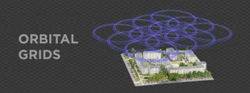
Multiple Overlapping Orbits - Pixpro Waypoints
Orbital flights are an effective and straightforward way of obtaining good-quality scans of isolated or more homogenous objects. However, if we overlap many orbits side by side, it becomes just as efficient in capturing oblique data for quite large, multifaceted areas.
Overlap Between Different Perspectives
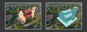
Photogrammetry can be simple and rigid or complex and adaptable. Combining different scan patterns adds complexity to the work but improves detail and coverage. We often use examples of combined flights, of which the orbital + nadir grid is a classic. They provide great 3D structure while being easy

Ground Sampling Distance Visualized
Ground sampling distance (GSD) is a ubiquitous term in photogrammetry. While this acronym often describes a specific scan quality aspect, it may be misunderstood or overvalued.
Ready to get started with your project?
You can choose from our three different plans or ask for a custom solution where you can process as many photos as you like!
Free 14-day trial. Cancel any time.
Welcome to Pixpro
Sign in
And access your account.