.svg@webp)
From Point Cloud to Report: Using Photogrammetry Software for Roof and Building Inspections
 Lukas
Zmejevskis
Lukas
Zmejevskis
Key Takeaways
-
Overlapping drone photos become a measurable 3D dataset, not just aerial pictures.
-
Elevation data catches problems like ponding water that a plain photo hides.
-
The processing software matters as much as the drone. Weaker platforms produce warped geometry and noisy data.
-
A real inspection has five connected steps, not just handing over raw photos.
-
Point cloud data holds up over time: old and new scans can be compared directly. Software like Pixpro makes this workflow accessible.
There is a roof inspection I think about a lot. A guy climbed up with a ladder, a clipboard, and his phone, walked the perimeter, poked at a couple of soft spots with his boot, and came back down forty minutes later to write his notes from memory. Good at his job, no complaints there. But ask him three weeks later how deep the ponding water actually was near the north drain and he would shrug. Nobody could answer that. The entire record of the inspection was his memory plus whatever photos he had thought to snap along the way.
That is the actual problem photogrammetry solves. People fixate on the drone part of this, but a drone without solid processing software is just a slightly fancier camera on a stick. The value shows up once overlapping aerial photos get turned into a real, measurable 3D model. Once that happens, an inspection stops being one guy's opinion and turns into something you can go back and check months later.
What Is Happening Behind the Scenes
Short version, skipping most of the math. A drone flies a grid over the roof, capturing images that overlap heavily, somewhere around 70 to 85 percent front to back and 60 to 70 percent side to side. That overlap is the whole trick, honestly. It lets the software recognize the same physical point across dozens of slightly different images and work out exactly where that point sits in space.
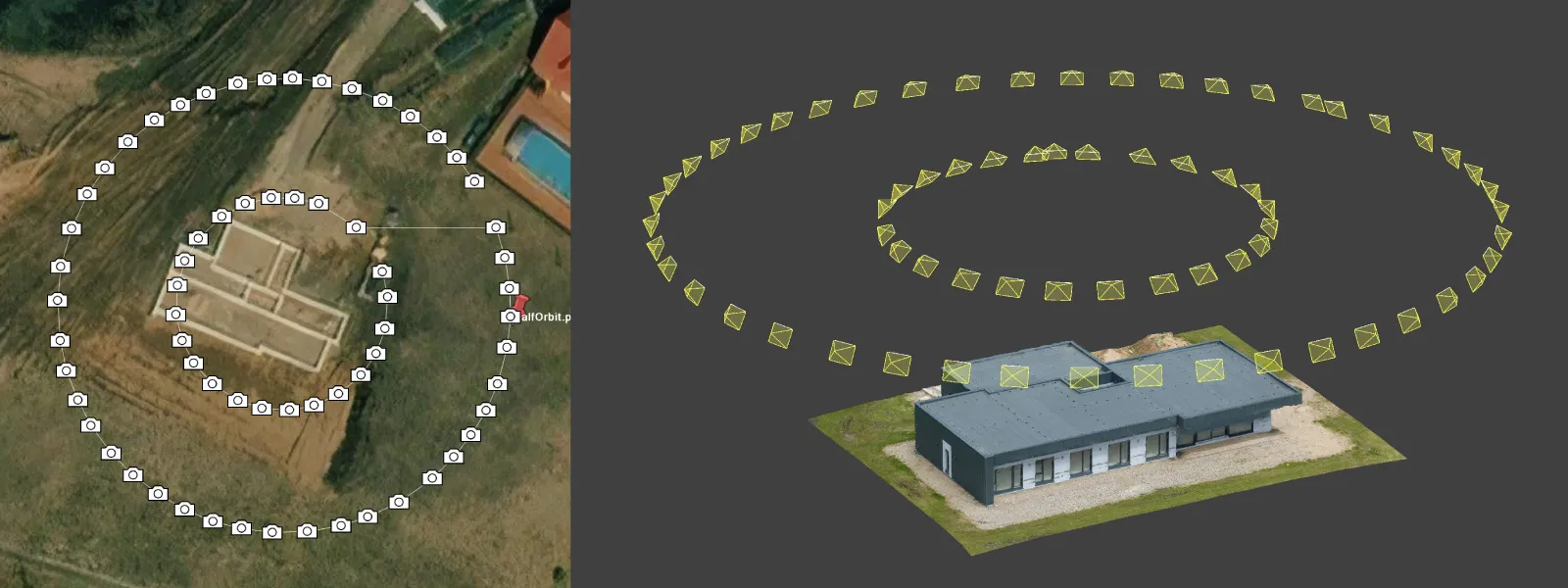 Do that across a few hundred images, sometimes a few thousand, and you get a point cloud. A dense scatter of coordinates describing the actual shape of the roof. From there the software builds a mesh, a solid textured model you can rotate and inspect from any angle, and an orthomosaic, a flattened top-down image corrected for lens distortion so measurements taken on it are actually accurate. Most platforms also produce an elevation model. That one ends up mattering the most, in my experience.
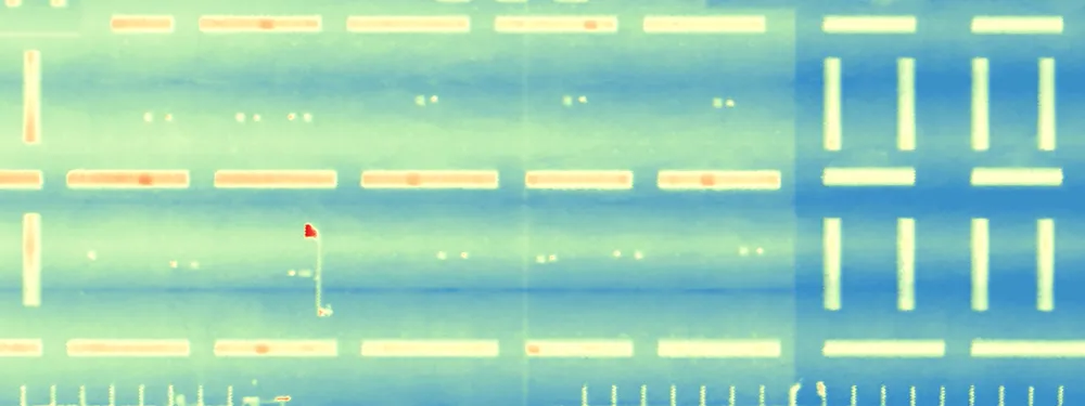
 Why? Ponding water is basically invisible to a camera in certain lighting. It is completely obvious the moment you have accurate elevation data in front of you.
Marketing Photos Are Not Inspection Data
Something worth flagging here. A lot of the early drone work in construction was really marketing content. Nice aerial shots for a listing, a flyover video for a project reveal. Nothing wrong with that use case. It is just a different job entirely from an inspection.
Marketing photography needs to look good. Inspection data needs to be accurate, and ideally defensible if someone pushes back on it later. Nobody wants a pretty flyover video when there is an insurance claim on the line, or when a client is deciding whether to spend six figures on a new membrane.
The specific software matters more here than most people expect going in. Cheaper, consumer-grade tools produce something that resembles a 3D model at a glance. Then you zoom in. Seams where images did not stitch cleanly. Warped geometry around parapet edges. Noisy elevation data hiding the exact problems you were supposed to find. Reflective surfaces and HVAC units throw weaker algorithms off completely, and thin features like flashing or vent pipes vanish if the processing was not built for a genuinely messy rooftop. This is the gap dedicated platforms are built to close. Pixpro, for instance, publishes real inspection case studies showing exactly how its processing handles rooftops full of HVAC units, reflective surfaces, and thin flashing.
Walking Through an Actual Inspection
Worth walking through how this actually goes, since it is more structured than it looks from outside.
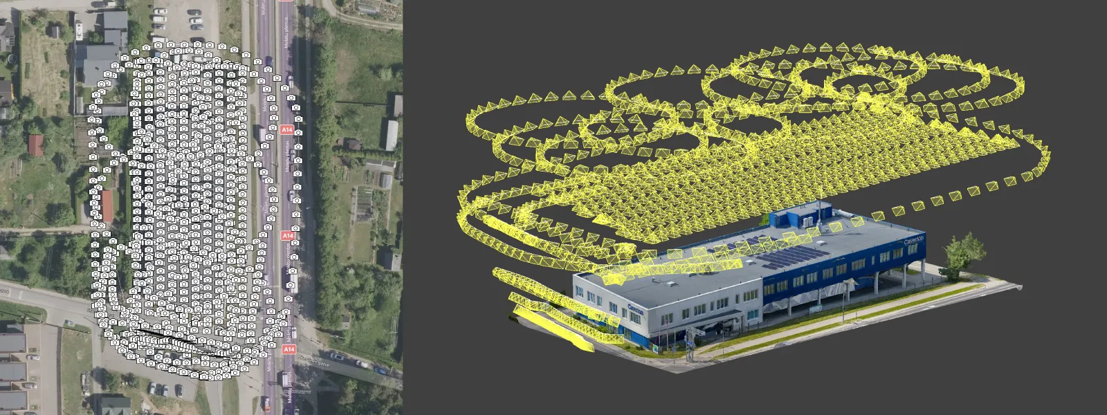
Flight planning comes first, and it varies more than people assume. Something like a flat gravel roof on a warehouse does not need much thought, honestly, but throw in a multi-level roof covered in HVAC units and parapet walls and the plan gets a lot more involved. Then the drone actually flies the grid. Fifteen minutes if you are lucky, closer to an hour if the roof is bigger or more cluttered than usual. Compare that to a manual walkthrough and it is not close.
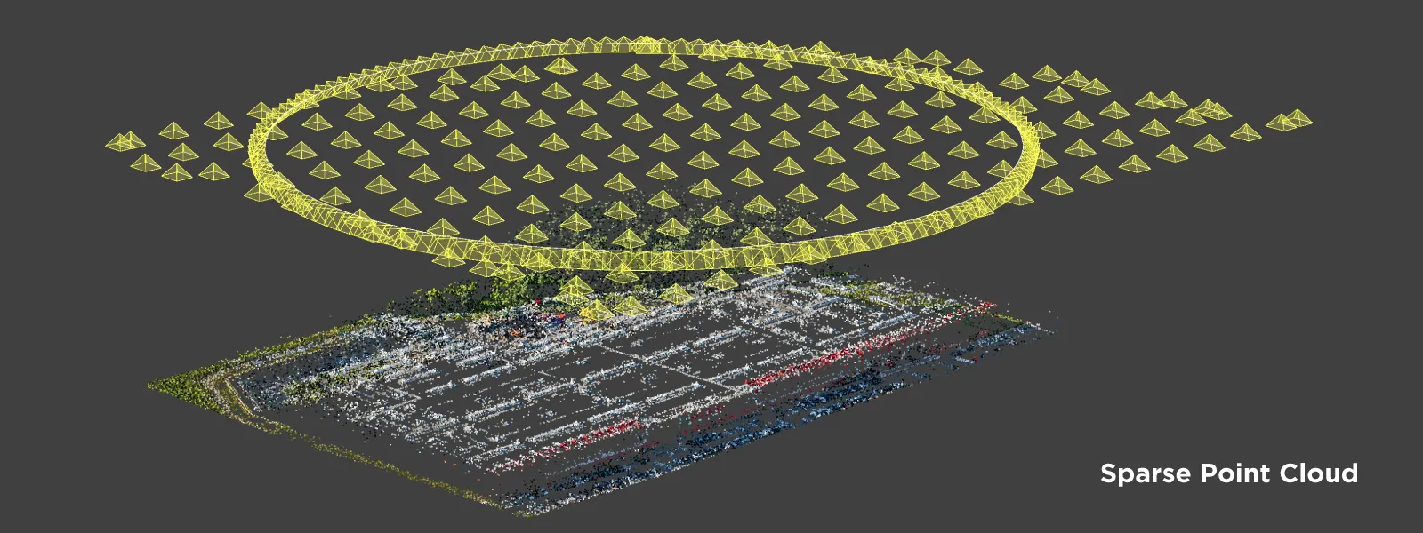 Processing eats up most of the actual time. Images get aligned, the point cloud gets built, the mesh and orthomosaic come out the other side. Depending on dataset size and available processing power, this alone can run from under an hour to several hours on a big or geometrically messy site.
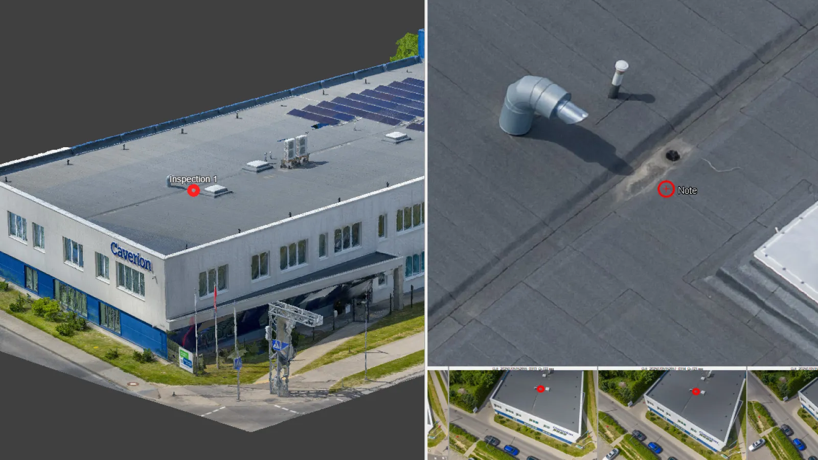
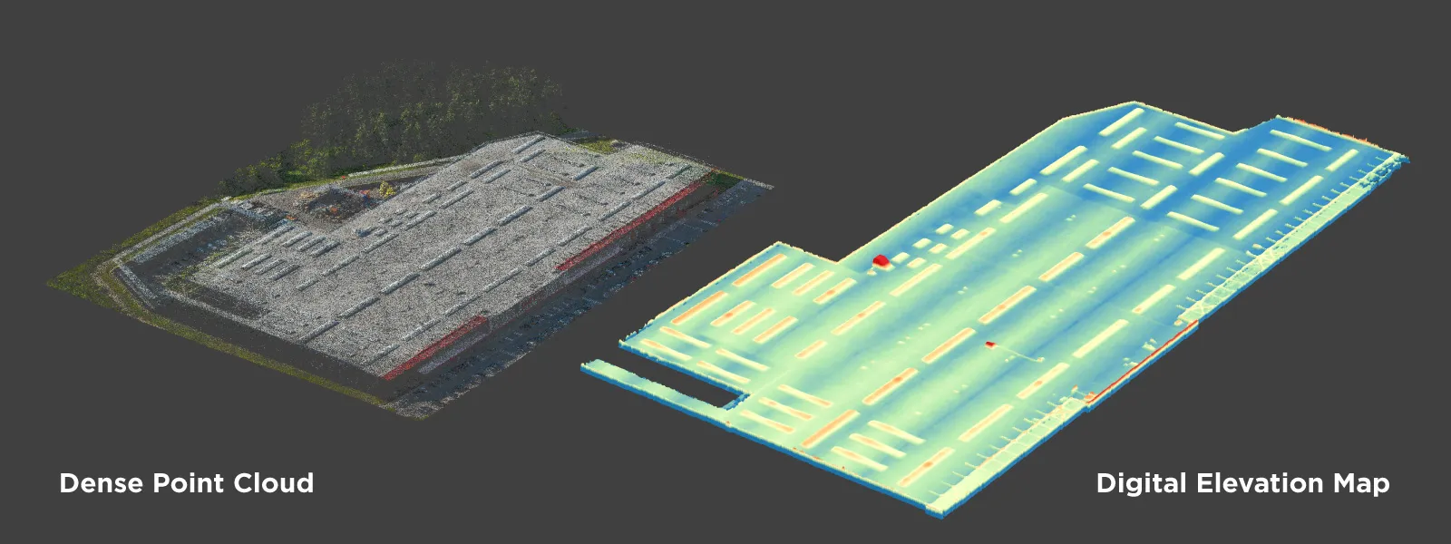 Then someone has to actually look at it. This step separates a real inspection from a data-collection exercise. An inspector goes through the 3D model itself, not the raw photos, measuring problem areas and checking elevation data against what a healthy roof should look like. All of that becomes a final report. Annotated images, real measurements, elevation maps where it matters, a written summary someone can act on.
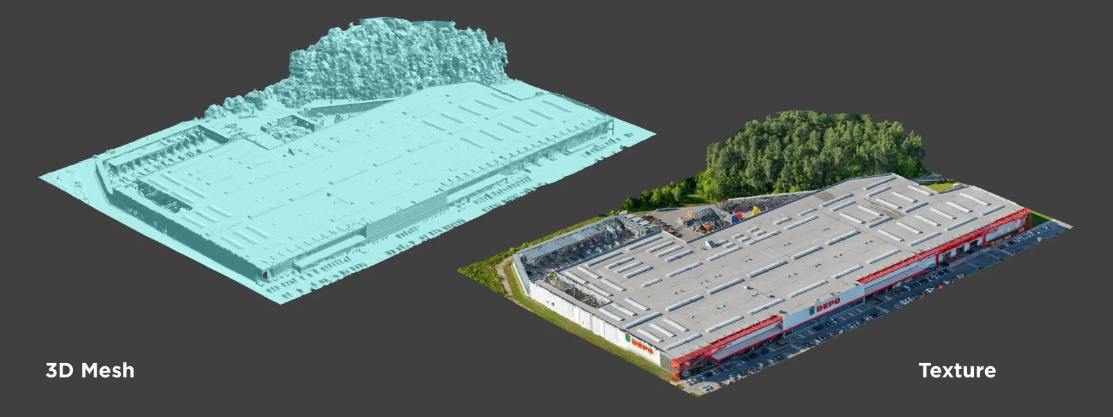 Not everyone bothers to tie all five steps together like that. Plenty of outfits just fly a drone, hand you the photos, and call it a day. If you are looking at a drone roof survey and inspection service that is worth using, this is usually the difference: it is one connected process, not five separate favors strung together.
The Drone Is Not the Point. What You Can Do Afterward Is.
Easy to underestimate this until you have seen both approaches next to each other.
With a photo album, every measurement is a guess. How bad the damage looks depends entirely on the light that day and how good the photographer happened to be. A dispute comes up later, a contractor and an insurer disagree on severity, and there is no going back to check anything. You are stuck with whatever got captured, from whatever angle it happened to get captured from.
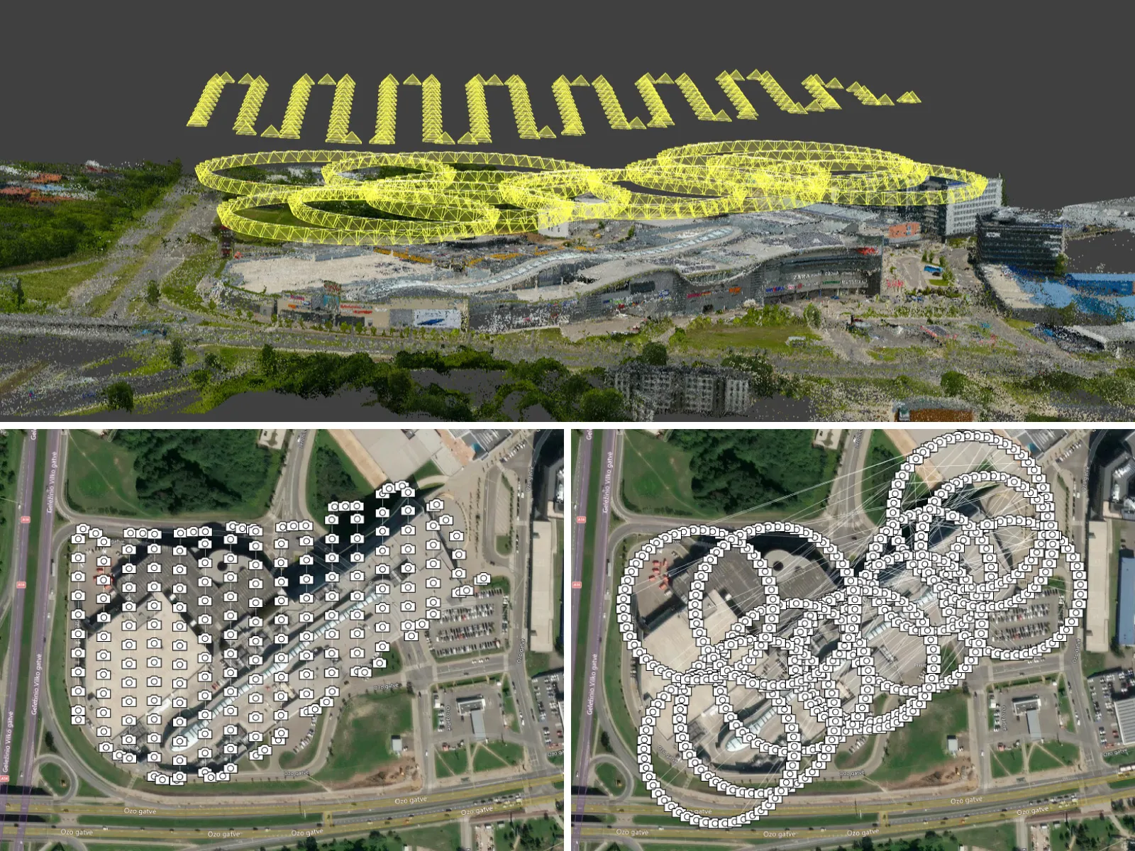 A point cloud does not have that problem. Need to double check a measurement six months later for a legal dispute? Pull the model up and measure it again, nothing has changed. Want to see how a roof shifted over two years? Overlay an old scan against a new one and look at the actual geometric difference instead of trusting someone's memory of "it looked worse." Want a second opinion from an engineer who never set foot on the property? Send them the model and let them poke around it themselves.
People do not give that enough credit. A photo only shows you what somebody happened to point a camera at that day. A full 3D model lets anyone look at whatever they want, from any angle. One person's judgment stops being the only thing standing between you and the truth.
A Case That Went More or Less Like This
A strip mall roof. Low slope, a handful of rooftop units, a leak complaint that had come up twice with nobody able to pin down the source. Old way, someone walks the roof, checks around the units for obvious membrane damage, writes up a best guess. If the leak is actually somewhere they did not check closely, you start over from scratch.
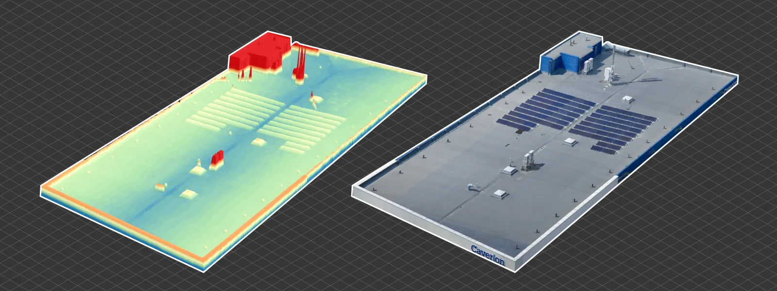 With a drone photogrammetry inspection, the whole roof gets captured in one pass, units included, and the elevation model shows exactly where water is pooling. Not "somewhere near the units," a specific low spot with a measurable depth relative to the nearest drain. Cases like this, the elevation data usually finds what a visual walkthrough missed. A drain sitting slightly higher than the surrounding membrane. Nobody catches that by eye. It jumps out the second you have real surface data in front of you.
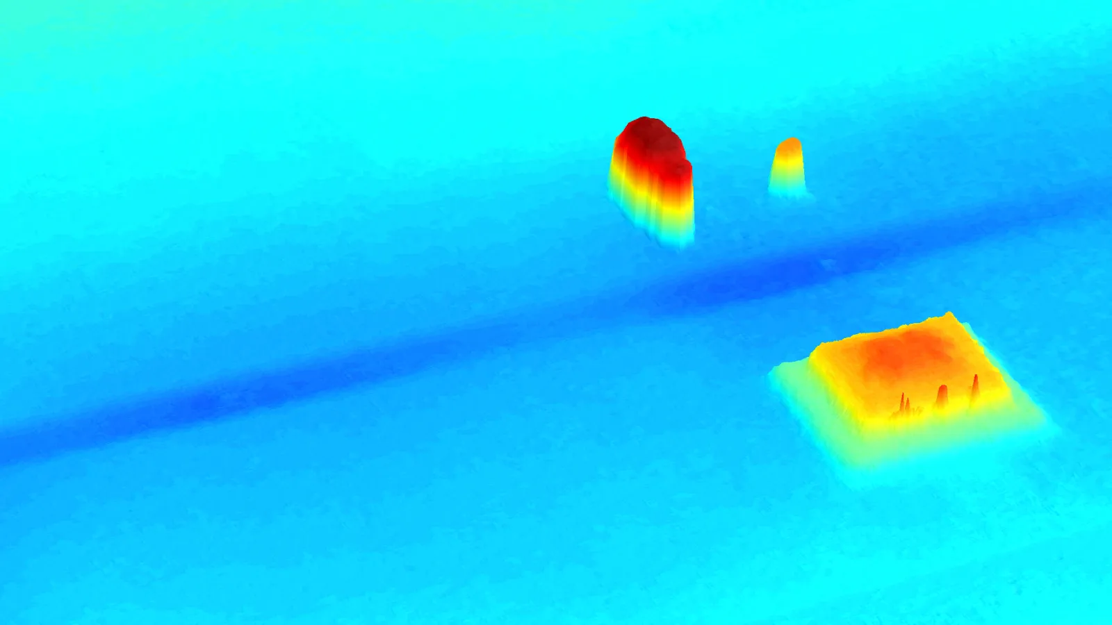
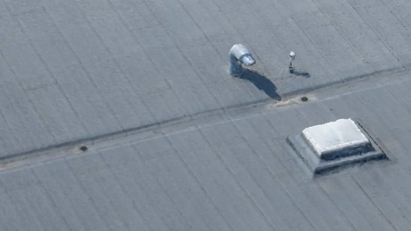
That is the kind of finding that saves actual money. Instead of replacing a whole membrane on a hunch, the report points at one specific, fixable cause, and it gives the building owner something concrete to bring to an insurer instead of a description that is easy to argue with. There is a fuller drone roof inspection guide covering equipment, flight planning, and how findings get reported, for anyone who wants the longer version of this.
Questions People Actually Ask
The one I get most is whether this means nobody ever needs to climb onto a roof again. Not really, no. Plenty of workflows still need a person walking the roof for stuff a camera cannot catch, certain material defects, smell, texture you can only feel underfoot. What photogrammetry removes is the reliance on that walkthrough as the only record of what happened up there.
Whether the data holds up in an insurance dispute comes up a lot too, and the honest answer is "it depends," mostly on the software and how the flight was planned. With proper overlap and a decent processing platform, measurements often land within a few millimeters over a reasonably sized area, tight enough to matter in a real claims dispute if everything was documented properly from the start.
Timeline questions are common. A fairly standard commercial roof usually goes from flight to final report inside a single business day. Bigger, more complicated sites take longer, mostly because processing time scales with dataset size rather than the flight itself taking meaningfully longer.
And then there is what happens to all that raw data afterward. Ideally it does not just vanish once the report is delivered. Keeping point clouds and models around is what makes this useful over time instead of just at the moment of inspection. A building with scans from a few different years ends up with something close to a medical chart for its roof.
Where This Actually Goes From Here
Construction and property inspection are still early into treating this as standard practice instead of a novelty. Plenty of roof inspections still happen the old way. A person, a ladder, a camera, a report written from memory a few hours later. That is shifting, slowly, mostly because the shift takes more than buying a drone. It takes software that can turn genuinely messy real-world imagery into something trustworthy, and inspectors who have learned to read a 3D model the way they would read the actual roof standing in front of them.
 For companies already doing drone inspections, I would think about this less as a tool upgrade and more as a change in what an inspection report even is. Not a snapshot of one person's opinion from one particular afternoon. A durable, measurable record of exactly what a structure looked like, geometrically, the moment it got scanned.
That is a real shift for an industry that has leaned on someone's word and a handful of photos to justify decisions worth six or seven figures for a long time now. Getting from a raw point cloud to a report a client actually trusts is not just a technical upgrade. It is the gap between an inspection that holds up under scrutiny and one that is just an educated guess with nicer photos stapled to it.
If you want to see how this looks on your own dataset, platforms like Pixpro offer a free 14-day trial, no dedicated GIS specialist required.
Frequently Asked Questions
How long does a full roof photogrammetry inspection take, start to finish?
For a standard commercial roof, flight to final report usually fits inside a single business day. Processing time scales with dataset size, so larger or more complex roofs can take longer.
What software is used to turn drone photos into a 3D roof model?
Dedicated photogrammetry platforms, Pixpro among them, handle image alignment, point cloud generation, mesh building, and orthomosaic and elevation model output. Consumer-grade tools without real processing capability cannot do this step.
Is drone photogrammetry data accurate enough to use in an insurance dispute?
With good image overlap and a decent processing platform, measurements often land within a few millimeters over a reasonably sized area, tight enough to matter in a real claims dispute, provided everything is documented properly from the start.
Do I still need someone to physically walk the roof?
Sometimes. Certain material defects, smell, or texture still need a hands-on check. What photogrammetry removes is the reliance on that walkthrough as the only record of what happened up there.
Can I compare scans of the same roof taken months or years apart?
Yes. That is one of the format's biggest advantages. Overlay an old scan against a new one and see the actual geometric difference instead of relying on memory of “it looked worse.”
Photographer - Drone Pilot - Photogrammetrist. Years of experience in gathering data for photogrammetry projects, client support and consultations, software testing, and working with development and marketing teams. Feel free to contact me via Pixpro Discord or email (l.zmejevskis@pix-pro.com) if you have any questions about our blog.
Related Blog Posts
Our Related Posts
All of our tools and technologies are designed, modified and updated keeping your needs in mind
Stockpile Photogrammetry Without a Flight Plan: Do Multiple Orbits Work?
Most stockpile guides, including our own, assume you show up with a plan: a grid mission loaded, overlap calculated, maybe an RTK drone. That is the clean way to do it. But real jobs are not always clean.
 Pixpro Team
3D Roof Scanning with the DJI Mini 5 Pro
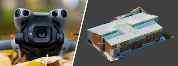
Another entry in our ongoing exploration of roof photogrammetry workflows. This time, the subject is the DJI Mini 5 Pro — DJI's latest 250g drone with a 1-inch sensor, omnidirectional obstacle avoidance, and Pixpro Waypoints support.
Pixpro Team
Residential House Scan Use Case - Complete Exterior
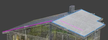
Dealing with a moderately complex request: a brand-new home building scan for documentation and solar panel installation planning. I had no opportunity to preplan any flights – just grab the drone and head to the location, with only a few listing photos as reference.
Pixpro Team
Ready to get started with your project?
You can choose from our three different plans or ask for a custom solution where you can process as many photos as you like!
Free 14-day trial. Cancel any time.