.svg@webp)
Referencing in Photogrammetry – Important Basics
 Lukas
Zmejevskis
Lukas
Zmejevskis

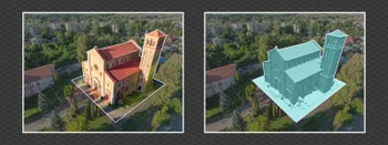
Referencing in photogrammetry – is a set of actions in the field and post-processing that allows to scale, orientate and place a photogrammetry project correctly. A photogrammetry project with referencing is in the correct position in relation to the real world, has a scale, and can be measured. Referencing is essential when photogrammetry is used for surveying, inspection, and mapping and can impact the 3D reconstruction quality in a big way.
Types of Referencing
Referencing in itself is a broad term. When we refer to a system used for referencing in a photogrammetry project, we usually refer to one of these types of references:
Georeferencing
Referencing based on GPS data and displayed with GPS coordinates visible on the project’s elements – in a chosen coordinate system. The source of such referencing information can be ground control points, flight tracks (flight telemetry), and photo metadata. Georeferencing exists by default in most aerial photogrammetry cases as most drones store GPS location data in the photo file metadata. This way, a project will have all referencing attributes present from the beginning – scale, orientation, and position.
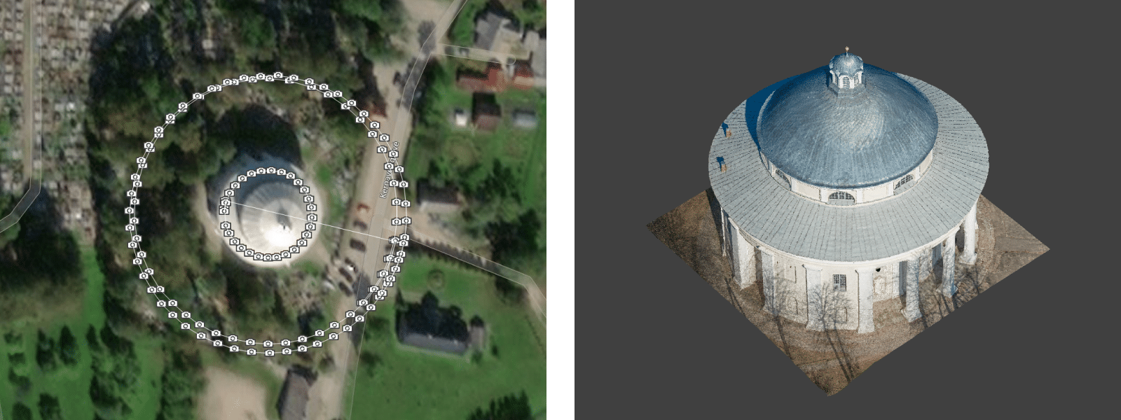
The main issue when it comes to georeferencing would be absolute location accuracy. As discussed in our previous articles, simple GPS data can have wild variations in positioning, especially on Z-axis. So this means your project may float above ground or be slightly offset when viewing it on a map. But an excellent 3D reconstruction with adequate GPS data will still be good enough to get reliable measurements. We observed +-2 centimeter relative accuracy in most good photogrammetry projects obtained with consumer-grade GPS data. On the other hand, survey-grade ground control points, RTK, and PPK data solve absolute accuracy and positioning issues.
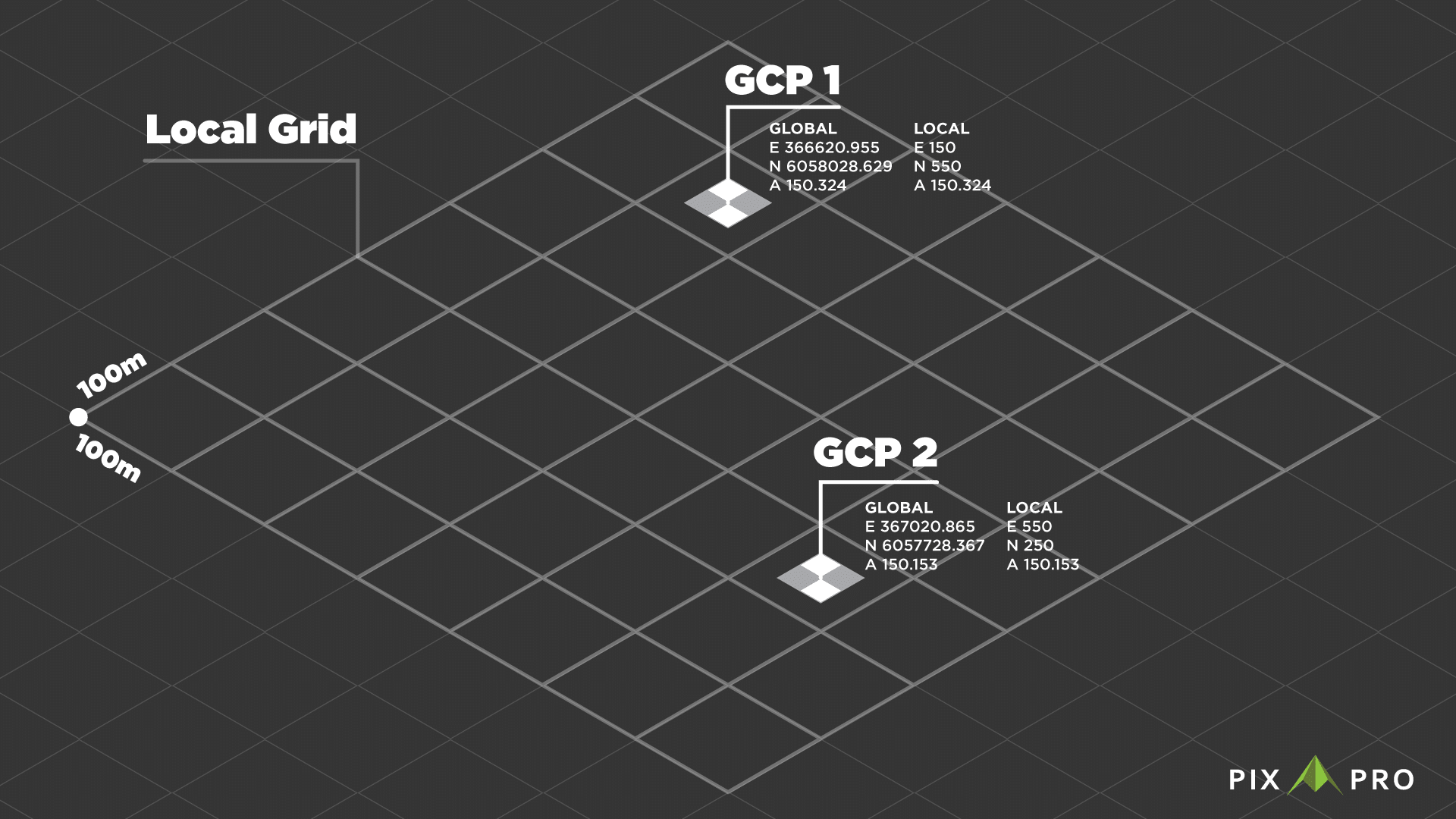
Local grid or Arbitrary grid referencing
A referencing coordinate system created for a specific site. You can often find local grids in large mines and large construction/mining operations requiring high precision. An arbitrary grid is usually based on two or more “base points” measured in geographical coordinates for reference. A grid encompassing those points is created using distance units, usually meters. That grid is used for reference as a coordinate system. Ground control points are measured in that coordinate system, then used in a photogrammetry project. Suppose a position on a map is required. Translation values obtained from the previously mentioned base points can be used to “place” the whole project in geographical coordinates.
Manual referencing
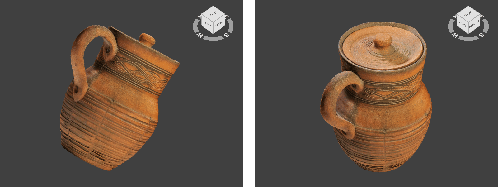
A technique of inputting all translation data manually. If a photogrammetry project does not contain any referencing information, the user can add this information manually. Users do this if they want to rotate, resize or even alter the object’s shape in the photogrammetric reconstruction. For example, 3D objects scanned with a mirrorless camera do not have any prior referencing data, so we use manual referencing to place an object correctly in the 3D space.
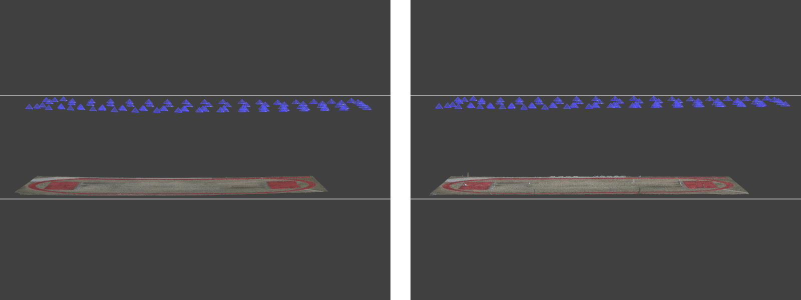
Scaling
Scaling is the simplest form of referencing. As the name implies, scaling gives a project scale while all other variables are kept the same. Scaling is the minimum requirement to have any measurements in a photogrammetry project. In most scenarios, scaling is used to approximate an object’s scale for assets made for 3D environments, VR, and other non-survey-related projects. Conversely, physical scale bars can evaluate the accuracy of georeferencing-based measurements. Depending on the implementation, scaling can be as reliable as survey-grade georeferencing data for measurements without absolute positioning. Additionally, scaling is commonly used in conjunction with other types of manual referencing.
Impact on Quality
Some referencing information can be used during the 3D reconstruction – mainly ground control points and photo file metadata. Suppose good camera position data is provided even before computation. In that case, this data can be used to avoid specific undesired effects and even speed up the reconstruction process. If the option is either to have or not to have referencing data – having it always helps. Unless, of course, the data is of poor quality and therefore misleading. Incorrect GPS data can throw off the 3D reconstruction process. Still, if that happens, we can choose to ignore the misleading data and rerun the computation.
Using ground control points does require more user input than just using photo metadata. At Pixpro, we developed our GCP workflow to be as easy and fast as possible. Adding GCPs to a project is always a good practice knowing how little time it takes to complete the process in Pixpro software. Thus getting the best georeferencing results is easy.
Conclusion
Referencing is an important concept to grasp for anyone using photogrammetry for survey-related tasks and measurements. If Pixpro, we have all possible options for referencing – GPS metadata, GCPs, flight tracks, manual referencing, and scaling. In future articles, we will look more in-depth into different types of referencing and best practices needed to take full advantage of photogrammetry.
Photographer - Drone Pilot - Photogrammetrist. Years of experience in gathering data for photogrammetry projects, client support and consultations, software testing, and working with development and marketing teams. Feel free to contact me via Pixpro Discord or email (l.zmejevskis@pix-pro.com) if you have any questions about our blog.
Related Blog Posts
Our Related Posts
All of our tools and technologies are designed, modified and updated keeping your needs in mind
Overlap Between Different Perspectives
Photogrammetry can be simple and rigid or complex and adaptable. Combining different scan patterns adds complexity to the work but improves detail and coverage. We often use examples of combined flights, of which the orbital + nadir grid is a classic. They provide great 3D structure while being easy

Pixpro Waypoints - Automated Photogrammetry Flights for Newest DJI Drones
The latest DJI drones are the most capable flying cameras on the market. If you need a tool like that or a competent machine for casual creation - DJI Mavic 3, DJI Mini 4, and DJI Air 3 series drones are the best.

Accuracy of Your Photogrammetry Project
Accuracy in photogrammetry is a multifaceted point of discussion. We can talk about absolute, relative, or even geometric accuracy, to name a few. No tool or technique can really prove anything beyond reproach.
Ready to get started with your project?
You can choose from our three different plans or ask for a custom solution where you can process as many photos as you like!
Free 14-day trial. Cancel any time.