.svg@webp)
DJI Air 3 For Photogrammetry
 Lukas Zmejevskis
Key Takeaways
- The Air 3 has no public SDK, so automated planning comes from loading a prepared route onto the controller rather than from the drone's own app.
- Manual nadir grids work well once a per-mode speed limit is set, which holds a steady pace and keeps photo overlap consistent.
- Circle hyperlapse doubles as a near-automatic orbital scan, and each orbit should contain at least 30 photos for clean reconstruction.
- The 3X telephoto module allows discreet scans from 80 metres, at the cost of light gathering and a higher risk of motion blur.
- Imagery from either module processes directly in Pixpro, so capture technique matters more here than any automation feature.
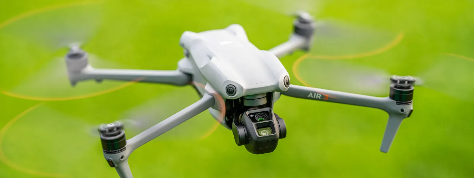
The DJI Mavic 3 Air is a compact, foldable drone with a good camera. It has a long flight time, omnidirectional obstacle avoidance, and the new O4 image transmission technology. All these features mean that it is also a tool for photogrammetry in the right hands. In our previous article, we tested the DJI Air 3 and gave our general impressions. This article will look at it from the aerial photogrammetric 3D scanning perspective.
No Automated Flights
The drone has everything to make it an excellent flying camera. But as with many other recent DJI drones - the DJI Air 3 has no public SDK support and, therefore, no third-party apps for its control. It means you cannot use apps that provide automatic flights for photogrammetry. What you have are all of the standard features and manual photogrammetry techniques.
The reason why this is the case is apparent. DJI regards photogrammetry as an enterprise concept and leaves automatic flights for its much more expensive enterprise drones, except for Mini 3 and Mini 3 Pro. So, you want a compact foldable drone with automated flights. In that case, your options are the smaller Mini 3 or a much more expensive but powerful Mavic 3E.
Update: this has since changed. Pixpro Waypoints now supports the DJI Air 3, so automated grid and orbital missions are possible after all. The route is planned in Pixpro Waypoints and transferred to the controller, which sidesteps the missing SDK entirely rather than working around it. The manual techniques below still apply and remain quicker when a full mission plan is more setup than a short scan needs.
Manual Nadir Grid Scan
If you want to learn manual photogrammetry - you are in the right place. Since the original Mavic 3 came out, we have been doing manual scans with DJI drones. After a few successful flights, we realized that you often do not need automatic flights. For example - if you are making an orthophoto of a moderately sized area, you can use the technique described in this article: Photogrammetry with the Mavic 3 - No Flight Planner Required Part 1
Using the Air 3 (or any other DJI drone) is even more accessible nowadays. You can set your speed limits for each flight mode (Cine - Normal - Sport), and you can calculate the speed you need to achieve the desired overlap with our photogrammetry calculator. Once you set your speed limit, you do not have to worry about speed control - you can push control sticks to the maximum to maintain the set speed.
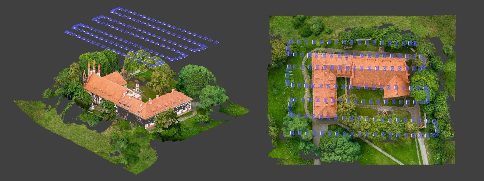
Cover your area in a grid pattern, flying only using right angles. Your result can resemble an automatic flight, even in windy conditions. However, it is not crucial if the flight looks perfectly aligned or not - as long as there is consistent coverage and overlap - your photogrammetric scan will be successful.
Circle Hyperlapse
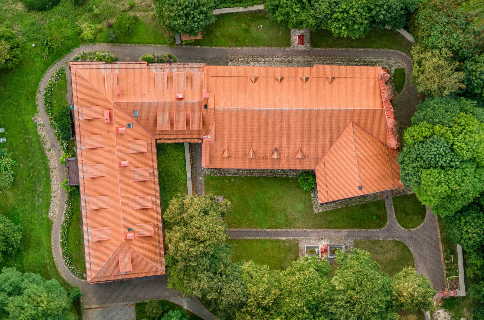
The most helpful flight patterns for getting quick scans of roofs or stockpiles are orbital flights. We can achieve almost automatic orbital scans using the hyperlapse feature and choosing the circle option. You only need to select your subject, photo interval, and duration. To get the best 3D reconstruction results, each orbital flight should contain at least 30 photos, whichever DJI Air 3 camera module you are using. For a more detailed breakdown of how you can use hyperlapse modes for photogrammetry, read our hyperlapse for photogrammetry article.
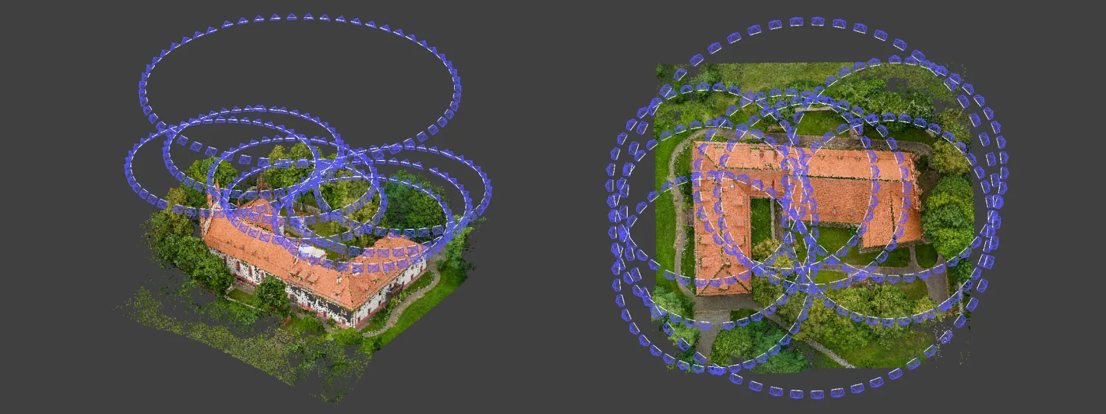
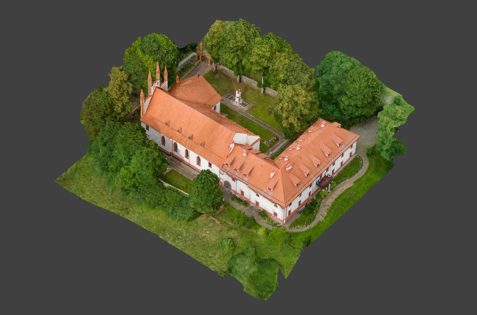
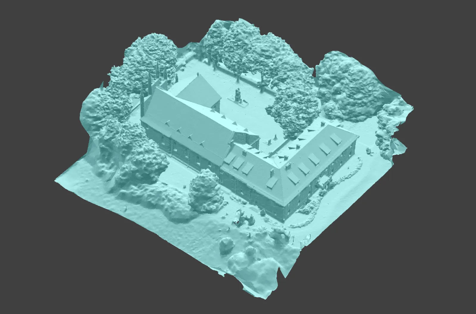
Multiple orbits are as effective if you require more detail or the scanned subject is immense. For example, we made a roof scan of a monastery, which required multiple orbits from 50 meters to ensure complete coverage without increasing the flight height. We also did one orbit from a higher altitude to provide maximum surrounding area coverage.
3X Camera Photogrammetry
The 3X camera module on the DJI Air 3 has access to the same features as the main 1X. There are no limitations from the software; the only difference you need to remember is the lesser light-gathering capability of this module. If the conditions are dim - you may need to avoid using the 3X module. Also, it may be harder to use overall due to its longer focal length.
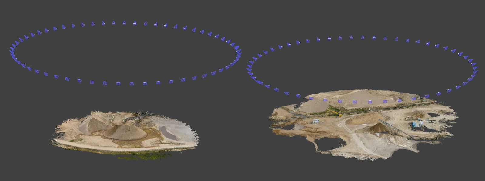
A longer focal length means encountering motion blur in your photos is highly probable. So remember to keep the shutter speeds high. But it also means you can be more discrete and make high-altitude scans without losing detail. We made a couple of orbital stockpile scans from an 80-meter altitude, which means the drone was far away from any sensitive equipment and barely noticeable to people on the ground.
Doing orbital scans on the 3X camera does mean you need to fly large circles around your object. Still, with Air 3 excellent battery life, this should not be an issue. We also used the same hyperlapse technique as with the wide-angle camera for our examples.

Whichever capture method you use, the images go straight into Pixpro for alignment and measurement without a conversion step, and our photogrammetry calculator helps set the ground sampling distance before you fly.
Conclusion
For manual aerial photogrammetry - the DJI Air 3 is excellent. It will be sufficient if you are doing small-scale scans, like stockpiles, roof scanning, building inspection, construction documentation, and monitoring. Only if you require automated flights or photogrammetry is the only reason you buy a drone - you may need to look at the expensive Mavic 3E or the smaller Mini 3. Significant advantages of the Air 3 compared to the Mini 3 drones are the omnidirectional obstacle avoidance and the 3X module. To summarize - if you are looking for a drone that does everything any other drone can do and still stays under the C1 class - DJI Air 3 is the only choice.
Frequently Asked Questions
Can the DJI Air 3 be used for photogrammetry?
Yes, and it performs well when flown manually. Both camera modules produce imagery that reconstructs cleanly, and the results process directly in Pixpro without conversion. The limitation is planning rather than image quality: routes have to be flown by hand or with hyperlapse modes rather than set up as an automated grid in the drone's own app.
How many photos should each orbital scan contain?
Aim for at least 30 images per orbit. Below that, reconstruction starts to show gaps where the software cannot match features between adjacent frames. More photos improve reliability up to a point, after which the extra frames add processing time without meaningfully improving the finished model.
Can the 3X telephoto camera be used for mapping?
It can, and it is genuinely useful for scanning from a distance. Orbital stockpile scans from 80 metres keep the drone clear of sensitive equipment while still resolving detail. The trade-off is light: the smaller module gathers less of it, so shutter speeds must stay high and dim conditions are best avoided altogether.
How do you keep photo overlap consistent when flying manually?
Set a speed limit for the flight mode you are using, then hold the sticks fully. Cine, Normal and Sport each carry their own configurable maximum, so capping the mode turns an imprecise manual input into a repeatable pace. That steady speed, paired with a fixed capture interval, is what produces even overlap.
Which DJI drone is better for automated photogrammetry flights?
The smaller Mini 3 or the considerably more expensive Mavic 3E, both of which allow route planning the Air 3 does not. Choosing between them comes down to budget rather than capability. If automation is not essential, the Air 3 remains the stronger all-round drone in the C1 weight class.
Photographer - Drone Pilot - Photogrammetrist. Years of experience in gathering data for photogrammetry projects, client support and consultations, software testing, and working with development and marketing teams. Feel free to contact me via Pixpro Discord or email (l.zmejevskis@pix-pro.com) if you have any questions about our blog.
Related Blog Posts
Our Related Posts
All of our tools and technologies are designed, modified and updated keeping your needs in mind
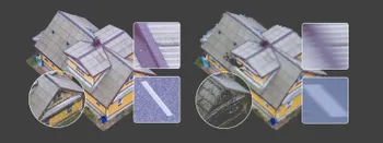
Shutter Speed, ISO and Motion Blur in Drone Photogrammetry, Part 2: The Roof Test
This is the practical part. Same roof, same orbit, seven times, from high ISO and a fast shutter down to low ISO and a shutter so slow it has no business producing a 3D model.
 Pixpro Team
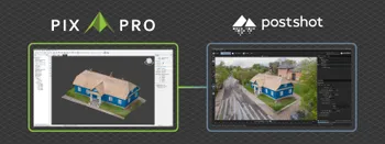
Pixpro to Gaussian Splatting: How to Export Your Project to Postshot
Gaussian splatting is no longer a curiosity. People are using it for walkthroughs, marketing visuals, virtual environments, and increasingly as a pretty companion to a scan they already flew.
Pixpro Team

The Top 10 Pixpro Blog Articles So Far
We have been publishing on this blog every week for years now, on everything from stockpile volumes and coordinate systems to scanning a cake. So it seemed like a good time to look at the numbers and see which posts people actually read, rather than which ones we enjoyed writing.
Pixpro Team
Ready to get started with your project?
You can choose from our three different plans or ask for a custom solution where you can process as many photos as you like!
Free 14-day trial. Cancel any time.
Welcome to Pixpro
Sign in
And access your account.