.svg@webp)
Other
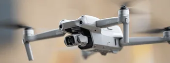
DJI Air 2S for Photogrammetry
DJI Air 2S is a small foldable quadcopter drone launched in mid-2021. Having been on the market for more than a year, the Air 2S is not new but established as one of the best consumer drones available today.

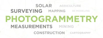
What is Drone Mapping?
Drone mapping – is a process of aerial data collection using unmanned aerial vehicles (UAVs). Orthophotography and drone photogrammetry are the main categories within drone mapping. Lidar scanning and other types of data gathering are also included.

Starting Your Drone Business
The majority of drone businesses are one-person ventures or small businesses. Few entrepreneurs have built large companies with turnovers in millions of dollars. It is not easy to create and manage a successful business.

Drone Piloting – Best Ways to Get Experience
The fundamental principles of drone piloting career do not significantly differ from other similar professions. It is easy to enter the market, requires low investment costs, and is easy to get out of the market.

Best GPU for Photogrammetry – OpenCL vs. CUDA
Photogrammetry project creation is a heavy task for any computer. Hundreds of thousands of photos must be put through dozens of algorithms crunching gigabytes of data in real-time.

Pixpro Software 1.6.5 is Here
A new version of Pixpro photogrammetry software is here, and it brings new features, improvements, and fixes. Let’s go through them. New Wizard Workflow in Pixpro Software We added a new wizard-type workflow for creating cloud computation and local projects.

Weather Conditions for Aerial Photogrammetry – What to Look Out For?
Weather conditions for your drone flight are a variable you can not control. But you can monitor the ever-changing skies, predict the immediate conditions and choose your battles carefully. Adapting to different wind and lighting conditions requires skill, alertness, and experience.
Photogrammetrist Profession and Jobs. Worth Your Consideration.
Choosing a photogrammetrist profession can be a strategic career decision, an extra job, or a hobby. It is excellent for people who dislike sedentary jobs and love learning various skills. What does a Photogrammetrist do?
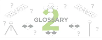
Glossary Part 2
This is the second part of our glossary. We explain the terminology used in our blog and the broader area of photogrammetry.
Ready to get started with your project?
You can choose from our three different plans or ask for a custom solution where you can process as many photos as you like!
Free 14-day trial. Cancel any time.
Welcome to Pixpro
Sign in
And access your account.