.svg@webp)
Photogrammetry Checklists - Aerial - Terrestrial - Processing
 Lukas
Zmejevskis
Lukas
Zmejevskis
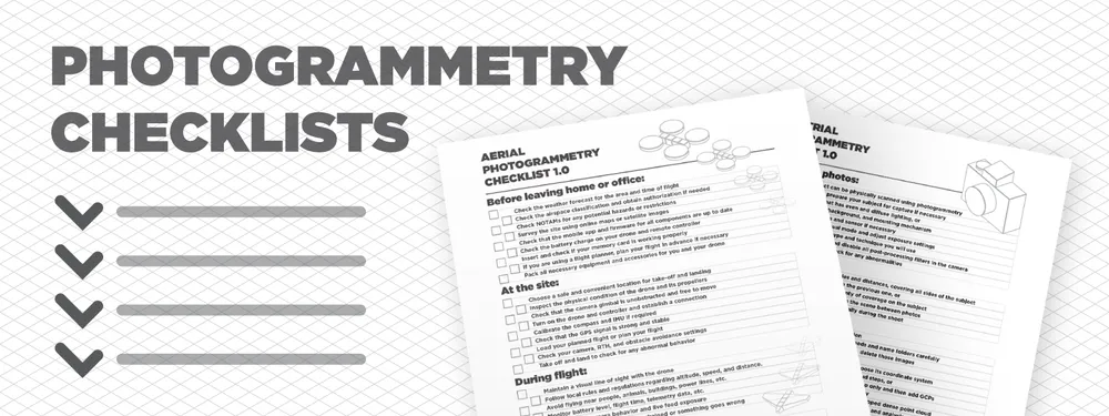
Checklists are among the most common and practical tools for organizing and completing tasks. Whether you need to plan a project, prepare for a trip, or remember your daily chores, a checklist can help you stay on track and avoid forgetting anything important. Creating a 3D model from scratch with aerial or terrestrial photogrammetry is a multi-step process that greatly benefits from having a checklist. Let us divide the photogrammetric scanning process into two distinct areas - aerial and terrestrial photogrammetry and make a few high-level checklists that can help you to keep things on track.
Aerial Photogrammetry Checklist
Aerial photogrammetry workflow benefits the most from having a checklist because there are a lot of essential steps that may take little time to do and are easily forgettable until it is too late. What follows is a comprehensive but high-level checklist for all stages before actual data processing.
Before leaving home or office:
- Check the weather forecast for the area and time of flight
- Check the airspace classification and obtain authorization if needed
- Check NOTAMs for any potential hazards or restrictions
- Survey the site using online maps or satellite images
- Check that the mobile app and firmware for all components are up to date
- Check the battery charge on your drone and remote controller
- Insert and check if your memory card is working properly
- If you are using a flight planner, plan your flight in advance if necessary
- Pack all necessary equipment and accessories for you and your drone
Read more:
Weather Conditions for Aerial Photogrammetry
At the site:
- Choose a safe and convenient location for take-off and landing
- Inspect the physical condition of the drone and its propellers
- Check that the camera gimbal is unobstructed and free to move
- Turn on the drone and controller and establish a connection
- Calibrate the compass and IMU if required
- Check that the GPS signal is strong and stable
- Load your planned flight or plan your flight
- Check your camera, RTH, and obstacle avoidance settings
- Take off and land to check for any abnormal behavior
During flight:
- Maintain a visual line of sight with the drone
- Follow local rules and regulations regarding altitude, speed, and distance.
- Avoid flying near people, animals, buildings, power lines, etc.
- Monitor battery level, flight time, telemetry data, etc.
- Monitor your camera behavior and live feed exposure
- Return to home if the battery is drained or something goes wrong
Read more:
Nadir Scanning without Flight Planner
Orbital Scanning without Flight planner
After flight:
- After landing safely, turn off the drone and controller
- Remove the warm battery from the drone
- Store all equipment securely in a case or bag
- Review footage or photos captured by the drone
Additionally, we recommend reviewing the gathered photos on a large screen for critical jobs. This checklist does not encompass other data collection, such as GCPs or scale bars, as these processes deserve lower-level checklists on their own.
Terrestrial Photogrammetry Checklist
Similarly, we present a high checklist for a terrestrial photogrammetric shoot.
Before taking photos:
- Ensure your subject can be physically scanned using photogrammetry
- Clean or otherwise prepare your subject for capture if necessary
- Choose a location that has even and diffuse lighting, or
- Set up your lighting, background, and mounting mechanism
- Clean your camera lens and sensor if necessary
- Set your camera to manual mode and adjust exposure settings
- Choose what autofocus type and technique you will use
- Choose your file format and disable all post-processing filters in the camera
- Take a few test shots to check for any abnormalities
While taking photos:
- Take photos from different angles and distances, covering all sides of the subject
- Overlap each photo by 80% with the previous one, or
- Take orbital-type photos with plenty of coverage on the subject
- Do not move or change anything in the scene between photos
- Zoom in and check photos periodically during the shoot
Read more:
3D Asset Creation With Photogrammetry
Cross Polarization Photogrammetry
Macro Photogrammetry
Data Processing in Pixpro
Finally, we made a short post-capture checklist that explicitly describes a workflow in Pixpro and applies to aerial and terrestrial photogrammetry workflows.
After taking photos:
- Copy your photos to your storage location
- Group your pictures according to your needs and name folders carefully
- Inspect all photo groups for failed images, delete those images
- Convert raw photos to jpegs if necessary
- Create a new Pixpro project, name it, and choose its coordinate system
- Process the 3D structure and Dense point cloud steps, or
- If you are using GCPs - run the 3D structure step only and then add GCPs
- Crop your dense point cloud to your subject only
- Process any additional required layers from a cropped dense point cloud
- Inspect all processed layers and begin data export and analysis.
Read more:
Photogrammetry Fails and Issues Part 1
Photogrammetry Fails and Issues Part 2
Conclusion
You can download and print these checklists and use them in the field or at your workplace. A quick glance at a checklist may save you some headaches afterward. We have all been there when forgetting a memory card or charging the remote controller sets us back hours from completing a task and might even result in missing a window of good weather for aerial photogrammetry. Download the checklists from the drive link below in a convenient printable form: Printable PDF
Photographer - Drone Pilot - Photogrammetrist. Years of experience in gathering data for photogrammetry projects, client support and consultations, software testing, and working with development and marketing teams. Feel free to contact me via Pixpro Discord or email (l.zmejevskis@pix-pro.com) if you have any questions about our blog.
Related Blog Posts
Our Related Posts
All of our tools and technologies are designed, modified and updated keeping your needs in mind

Overlap Between Different Perspectives
Photogrammetry can be simple and rigid or complex and adaptable. Combining different scan patterns adds complexity to the work but improves detail and coverage. We often use examples of combined flights, of which the orbital + nadir grid is a classic. They provide great 3D structure while being easy

Pixpro Waypoints - Automated Photogrammetry Flights for Newest DJI Drones
The latest DJI drones are the most capable flying cameras on the market. If you need a tool like that or a competent machine for casual creation - DJI Mavic 3, DJI Mini 4, and DJI Air 3 series drones are the best.

Accuracy of Your Photogrammetry Project
Accuracy in photogrammetry is a multifaceted point of discussion. We can talk about absolute, relative, or even geometric accuracy, to name a few. No tool or technique can really prove anything beyond reproach.
Ready to get started with your project?
You can choose from our three different plans or ask for a custom solution where you can process as many photos as you like!
Free 14-day trial. Cancel any time.