We are back with another installment of our photogrammetry FAQ series. These are ten more questions we hear often, from people getting started and from users already deep into their projects. As before, they come from client support, training, and our Discord server. This round follows the whole workflow, from capture to delivery, and as always these are our opinionated but educated answers.
1. Do I need to be a surveyor or a GIS specialist to use this?
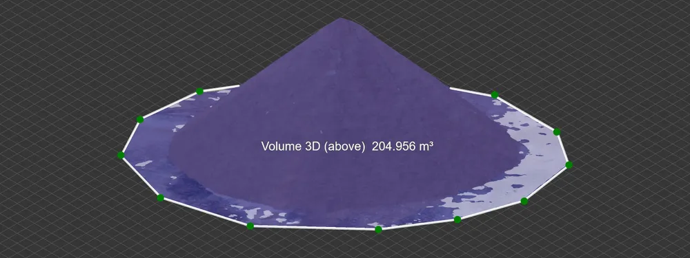
No. Photogrammetry software has a reputation for being intimidating, but you do not need a survey or GIS background to get a good result. If you can fly a drone or take a careful set of photos, the software handles the reconstruction, and the measurement tools are as simple as drawing a line or a polygon and reading the value. A specialist will get more out of the advanced options, but a beginner can produce a usable, measurable model on the first try.
2. Do I need a drone, or can I scan by hand?
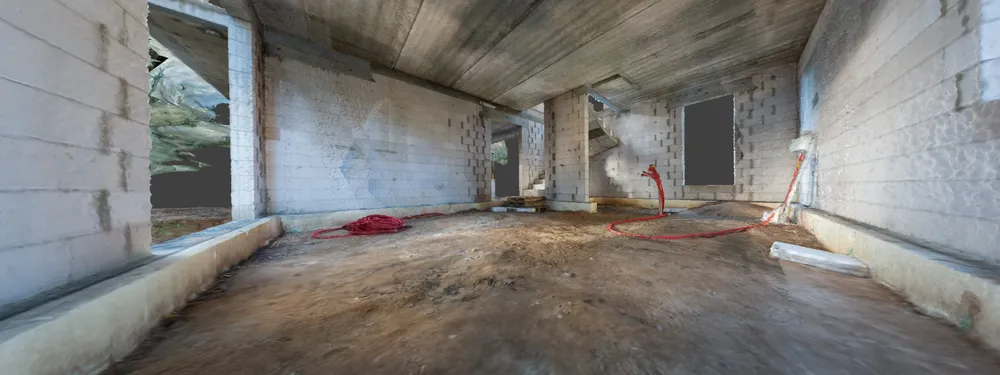
You do not need a drone at all. Photogrammetry works with any camera, and plenty of scanning happens on the ground, by hand, of interiors, facades, and individual objects. A drone simply gets the camera into positions you cannot otherwise reach, like the middle of a roof. For a room or an object, you just work around it in overlapping passes, usually with a wide lens and even lighting, and the processing afterward is identical to an aerial job.
3. Can I scan a tall structure like a tower or a chimney?
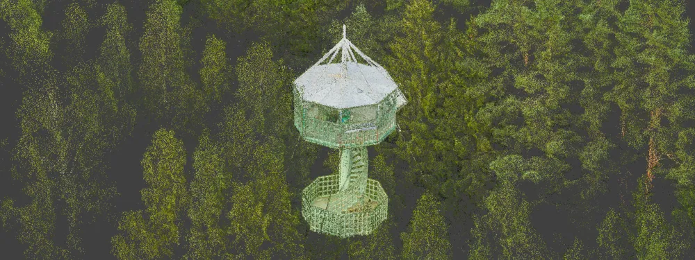
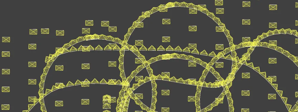
Yes. Tall, isolated structures are a classic orbital job: you fly the drone in a circle around the subject, capturing it from every side, often at a couple of different heights. That gives the software the wrap-around coverage it needs to reconstruct the whole thing, including the parts a top-down flight would never see. Towers, chimneys, monuments, and silos all scan well this way.
4. Can I scan a large area with a small consumer drone?
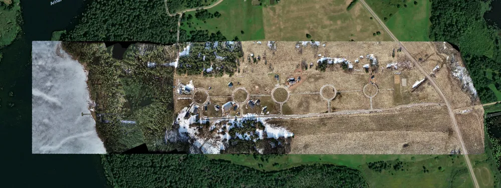
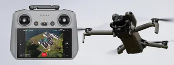
Within reason, yes. A small drone like a Mini can cover a surprising amount of ground if you plan the flight properly, flying a grid at a sensible altitude and swapping batteries to finish the area in passes. The real limits are battery life and legal range, not the photogrammetry itself. For very large sites what matters is not the size of the drone but its capabilities, mainly flight endurance and a robust signal, so a more capable drone finishes faster whatever it weighs. A consumer drone still handles most residential and small commercial jobs without trouble.
5. How do I control the level of detail in a scan?
Detail comes down to ground sampling distance, the real-world size of a single pixel, which you set mainly by how close the camera is to the subject. Fly or shoot lower and closer for finer detail, higher and farther for more coverage per shot. Let the detail you actually need set the distance, rather than the other way around.
6. Does weather or lighting affect the scan?
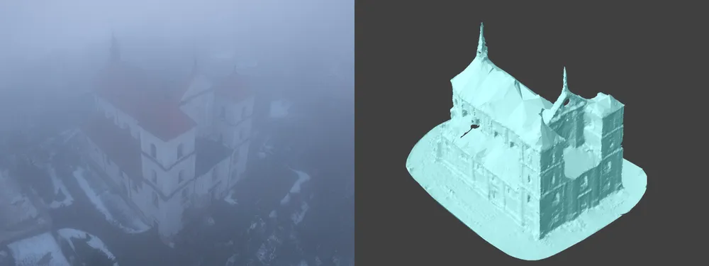
More than most people expect. Even, overcast light is ideal, because harsh shadows bake into the model as dark voids, though perfectly good scans are still possible in sunlight. Avoid rain and fog, which degrade image quality, and mind strong wind for aerial work. Consistent conditions across the whole capture matter about as much as the conditions themselves.
7. How long does processing take?
It depends on the number of photos, the settings, and your hardware. A small project can finish in well under an hour, while a large or geometrically messy site can run several hours locally. If your machine is modest, the cloud processing offloads the work so you do not tie up your own computer while it runs.
8. How do I check whether a scan turned out well before I deliver it?
Cull your photos before reconstruction, then let the numbers tell you. After running the 3D reconstruction, Pixpro shows how many of your photos were actually used. If it aligned less than about 80 percent of the set, treat that as a red flag, since overlap, coverage, or image quality is probably off somewhere. If you culled carefully beforehand and it still used under about 90 percent, that is also worth a closer look. A healthy project uses almost everything you feed it, so a large gap between photos taken and photos used is your earliest warning that the scan needs another pass before it goes out.
9. Can I compare two scans of the same site taken months apart?
Yes, and it is one of the more useful things you can do with photogrammetry. Scan the same site at different dates, overlay the models, and you can measure the actual geometric change instead of relying on memory. Pixpro has a timeline tool for exactly this, comparing DEM surfaces to show how much material moved or how a structure shifted over time. The main requirement is consistent referencing between the scans so they line up correctly.
10. How do I share a finished 3D model with a client?
You do not email a multi-gigabyte file. Export to a standard format for a CAD or GIS handoff, or share an interactive model through a web viewer so the client can rotate and inspect it in a browser. A shared link is usually the easiest way for someone to explore the result without installing any software.
Conclusion
That is another ten. Between this article and the earlier parts, we have now covered most of the questions we get on a regular basis. This is probably the last roundup of this kind, though, because these days we add a focused FAQ section to the end of most new blog posts, answering the questions specific to that topic right where they belong. So the questions will keep getting answered, just spread across the blog rather than collected here. If yours is still not covered anywhere, ask us on the Discord server or leave a comment.
You can read the earlier installments below, including the two dedicated to Pixpro Waypoints.
.svg@webp)